Area Overview for PE29 2DH
Photos of PE29 2DH
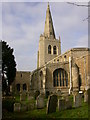
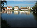
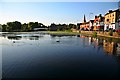

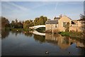
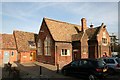
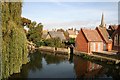
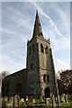

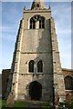
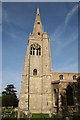
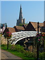
100 photos from this area
Area Information
Key information about the PE29 2DH including its size, population, and administrative classification.
- Area Type
- Postcode
- Area Size
- 9634 m²
- Population
- 1654
- Population Density
- 4676 people/km²
House Prices in PE29 2DH
29
Properties
£140,205
Average Sold Price
£52,000
Lowest Price
£280,000
Highest Price
Showing 29 properties
| Address | Type | Beds | Baths | Last Sale Price | Last Sale Date | |
|---|---|---|---|---|---|---|
| 20 Merton Walk, Godmanchester, PE29 2DH | Terraced | 3 | 1 | £280,000 | Jun 2024 | |
| 14 Merton Walk, Godmanchester, PE29 2DH | Terraced | 3 | - | £190,000 | Mar 2018 | |
| 3 Merton Walk, Godmanchester, PE29 2DH | Terraced | - | - | £165,000 | Oct 2017 | |
| 18 Merton Walk, Godmanchester, PE29 2DH | Terraced | 4 | - | £195,000 | Apr 2017 | |
| 19 Merton Walk, Godmanchester, PE29 2DH | Terraced | 3 | 1 | £135,000 | Apr 2014 | |
| 23 Merton Walk, Godmanchester, PE29 2DH | Terraced | 3 | 1 | £123,255 | Aug 2013 | |
| 6 Merton Walk, Godmanchester, PE29 2DH | Terraced | - | - | £129,000 | Aug 2005 | |
| 28 Merton Walk, Godmanchester, PE29 2DH | Terraced | - | - | £106,000 | May 2003 | |
| 7 Merton Walk, Godmanchester, PE29 2DH | Terraced | - | - | £92,000 | Jul 2002 | |
| 22 Merton Walk, Godmanchester, PE29 2DH | Terraced | - | - | £75,000 | Jan 2002 |
Page 1 of 3
Energy Efficiency in PE29 2DH
Amenities
Schools
| Rank | School | Type | Entry gender | Ages |
|---|
Explore more schools in this area
Go to Schools tabDemographics
Household Size
Family (3-5 people)
most common
Accommodation Type
Houses
most common
Tenure
74
majority
Ethnic Group
White
most common
Religion
N/A
most common
Household Composition
N/A
most common
Age
47
median
Adults (30-64 years)
most common
Household Deprivation
N/A
with no deprivation
NS-SEC
45
in Lower managerial occupations
Explore more demographic insights in this area
Go to Demographics tabPlanning
Planning Constraints
- Flood RiskPremium
- Ramsar Wetland SitesPremium
- Area of Outstanding Natural BeautyPremium
- Protected Nature ReservePremium
- Protected WoodlandPremium