Area Overview for PE29 1LF
Photos of PE29 1LF
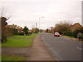
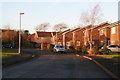
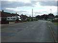
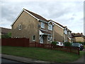
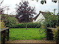
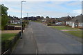
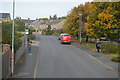
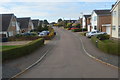
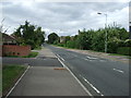
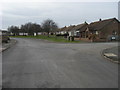
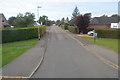
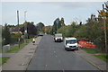
12 photos from this area
Area Information
Key information about the PE29 1LF including its size, population, and administrative classification.
- Area Type
- Postcode
- Area Size
- 8749 m²
- Population
- 1609
- Population Density
- 2858 people/km²
House Prices in PE29 1LF
25
Properties
£215,564
Average Sold Price
£78,950
Lowest Price
£346,500
Highest Price
Showing 25 properties
| Address | Type | Beds | Baths | Last Sale Price | Last Sale Date | |
|---|---|---|---|---|---|---|
| 5 Hawk Drive, Hartford, PE29 1LF | Detached | 3 | 2 | £346,500 | Jun 2025 | |
| 18 Hawk Drive, Hartford, PE29 1LF | Detached | 3 | 2 | £322,500 | Apr 2025 | |
| 15 Hawk Drive, Hartford, PE29 1LF | Detached | 3 | - | £275,000 | Nov 2019 | |
| 4 Hawk Drive, Hartford, PE29 1LF | Detached | 3 | 2 | £239,000 | Oct 2015 | |
| 7 Hawk Drive, Hartford, PE29 1LF | Detached | 3 | - | £187,500 | Feb 2012 | |
| 11 Hawk Drive, Hartford, PE29 1LF | Detached | - | - | £187,500 | Jun 2006 | |
| 8 Hawk Drive, Hartford, PE29 1LF | Retail | 4 | 2 | £194,250 | Jan 2006 | |
| 16 Hawk Drive, Hartford, PE29 1LF | Detached | - | - | £194,000 | May 2004 | |
| 26 Hawk Drive, Hartford, PE29 1LF | Detached | - | - | £181,000 | Jun 2003 | |
| 14 Hawk Drive, Hartford, PE29 1LF | Detached | - | - | £165,000 | Dec 2001 |
Page 1 of 3
Energy Efficiency in PE29 1LF
Amenities
Schools
| Rank | School | Type | Entry gender | Ages |
|---|
Explore more schools in this area
Go to Schools tabDemographics
Household Size
Two person
most common
Accommodation Type
Houses
most common
Tenure
88
majority
Ethnic Group
White
most common
Religion
N/A
most common
Household Composition
N/A
most common
Age
47
median
Adults (30-64 years)
most common
Household Deprivation
N/A
with no deprivation
NS-SEC
49
in Lower managerial occupations
Explore more demographic insights in this area
Go to Demographics tabPlanning
Planning Constraints
- Flood RiskPremium
- Ramsar Wetland SitesPremium
- Area of Outstanding Natural BeautyPremium
- Protected Nature ReservePremium
- Protected WoodlandPremium