Area Overview for PE28 4JS
Photos of PE28 4JS
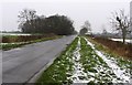
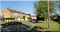
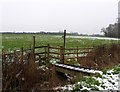
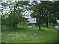
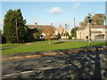

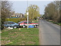
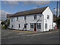
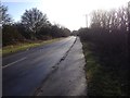
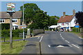
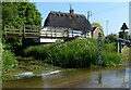
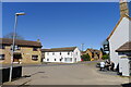
54 photos from this area
Area Information
Key information about the PE28 4JS including its size, population, and administrative classification.
- Area Type
- Postcode
- Area Size
- 3.9 hectares
- Population
- 1482
- Population Density
- 85 people/km²
House Prices in PE28 4JS
53
Properties
£192,191
Average Sold Price
£60,000
Lowest Price
£425,000
Highest Price
Showing 53 properties
| Address | Type | Beds | Baths | Last Sale Price | Last Sale Date | |
|---|---|---|---|---|---|---|
| 31 Highfield Avenue, Alconbury Weston, PE28 4JS | Semi-detached | 3 | 2 | £202,000 | Jun 2025 | |
| 29 Highfield Avenue, Alconbury Weston, PE28 4JS | Semi-detached | 3 | 1 | £245,000 | Aug 2023 | |
| 45 Highfield Avenue, Alconbury Weston, PE28 4JS | Detached | 3 | 1 | £285,000 | Aug 2023 | |
| 2 Highfield Avenue, Alconbury Weston, PE28 4JS | Semi-detached | 4 | 1 | £295,000 | Jun 2023 | |
| 6 Highfield Avenue, Alconbury Weston, PE28 4JS | house | - | - | £275,000 | Oct 2021 | |
| 47 Highfield Avenue, Alconbury Weston, PE28 4JS | house | - | - | £311,000 | Mar 2021 | |
| 53 Highfield Avenue, Alconbury Weston, PE28 4JS | house | - | - | £315,000 | Nov 2019 | |
| 17 Highfield Avenue, Alconbury Weston, PE28 4JS | Semi-detached | 3 | 1 | £218,000 | Jul 2019 | |
| 22 Highfield Avenue, Alconbury Weston, PE28 4JS | Detached | 5 | - | £425,000 | Jul 2019 | |
| 9 Highfield Avenue, Alconbury Weston, PE28 4JS | Semi-detached | 4 | 1 | £255,000 | Oct 2018 |
Page 1 of 6
Energy Efficiency in PE28 4JS
Amenities
Schools
| Rank | School | Type | Entry gender | Ages |
|---|
Explore more schools in this area
Go to Schools tabDemographics
Household Size
Two person
most common
Accommodation Type
Houses
most common
Tenure
81
majority
Ethnic Group
White
most common
Religion
N/A
most common
Household Composition
N/A
most common
Age
47
median
Adults (30-64 years)
most common
Household Deprivation
N/A
with no deprivation
NS-SEC
42
in Lower managerial occupations
Explore more demographic insights in this area
Go to Demographics tabPlanning
Planning Constraints
- Flood RiskPremium
- Ramsar Wetland SitesPremium
- Area of Outstanding Natural BeautyPremium
- Protected Nature ReservePremium
- Protected WoodlandPremium