Area Overview for PE28 3DY
Photos of PE28 3DY
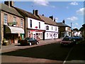
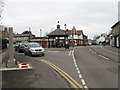
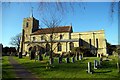
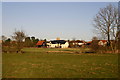
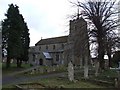
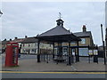
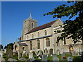
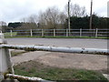
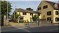
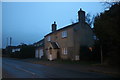
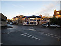
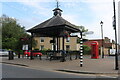
52 photos from this area
Area Information
Key information about the PE28 3DY including its size, population, and administrative classification.
- Area Type
- Postcode
- Area Size
- 1.2 hectares
- Population
- 1386
- Population Density
- 4411 people/km²
House Prices in PE28 3DY
38
Properties
£97,013
Average Sold Price
£19,500
Lowest Price
£200,000
Highest Price
Showing 38 properties
| Address | Type | Beds | Baths | Last Sale Price | Last Sale Date | |
|---|---|---|---|---|---|---|
| 37 Windsor Gardens, Somersham, PE28 3DY | Terraced | 1 | 1 | £160,000 | Oct 2024 | |
| 13 Windsor Gardens, Somersham, PE28 3DY | house | 2 | - | £200,000 | Jul 2022 | |
| 47 Windsor Gardens, Somersham, PE28 3DY | Flat | 1 | - | £84,000 | May 2022 | |
| 69 Windsor Gardens, Somersham, PE28 3DY | Flat | - | - | £83,500 | Jan 2022 | |
| 61 Windsor Gardens, Somersham, PE28 3DY | house | - | - | £119,000 | Mar 2021 | |
| 29 Windsor Gardens, Somersham, PE28 3DY | Terraced | 2 | 1 | £167,500 | Jul 2019 | |
| 59 Windsor Gardens, Somersham, PE28 3DY | Terraced | 1 | 1 | £113,000 | May 2019 | |
| 49 Windsor Gardens, Somersham, PE28 3DY | Flat | 1 | 1 | £85,000 | Mar 2019 | |
| 17 Windsor Gardens, Somersham, PE28 3DY | Terraced | 2 | - | £182,500 | Feb 2019 | |
| 21 Windsor Gardens, Somersham, PE28 3DY | Bungalow | 2 | 1 | £150,000 | Oct 2017 |
Page 1 of 4
Energy Efficiency in PE28 3DY
Amenities
Schools
| Rank | School | Type | Entry gender | Ages |
|---|
Explore more schools in this area
Go to Schools tabDemographics
Household Size
One person
most common
Accommodation Type
Houses
most common
Tenure
67
majority
Ethnic Group
White
most common
Religion
N/A
most common
Household Composition
N/A
most common
Age
47
median
Adults (30-64 years)
most common
Household Deprivation
N/A
with no deprivation
NS-SEC
35
in Lower managerial occupations
Explore more demographic insights in this area
Go to Demographics tabPlanning
Planning Constraints
- Flood RiskPremium
- Ramsar Wetland SitesPremium
- Area of Outstanding Natural BeautyPremium
- Protected Nature ReservePremium
- Protected WoodlandPremium