Area Overview for PE28 2TB
Photos of PE28 2TB
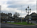
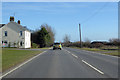
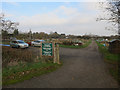
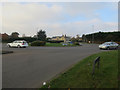

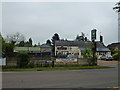
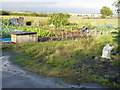
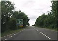
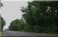
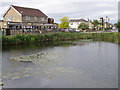
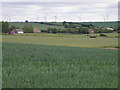
11 photos from this area
Area Information
Key information about the PE28 2TB including its size, population, and administrative classification.
- Area Type
- Postcode
- Area Size
- 1.8 hectares
- Population
- 1318
- Population Density
- 4620 people/km²
House Prices in PE28 2TB
29
Properties
£315,997
Average Sold Price
£100,000
Lowest Price
£548,000
Highest Price
Showing 29 properties
| Address | Type | Beds | Baths | Last Sale Price | Last Sale Date | |
|---|---|---|---|---|---|---|
| 81 High Street, Warboys, PE28 2TB | Semi-detached | 2 | 2 | £310,000 | Aug 2025 | |
| 117 High Street, Warboys, PE28 2TB | house | 4 | 3 | £548,000 | Sep 2023 | |
| 102 High Street, Warboys, PE28 2TB | Detached | 4 | 2 | £442,000 | Nov 2022 | |
| 93 High Street, Warboys, PE28 2TB | house | - | - | £180,000 | Sep 2021 | |
| 104 High Street, Warboys, PE28 2TB | Detached | 5 | 2 | £470,000 | Feb 2021 | |
| 98 High Street, Warboys, PE28 2TB | house | - | - | £300,000 | Feb 2021 | |
| 95 High Street, Warboys, PE28 2TB | Semi-detached | 3 | 1 | £160,000 | Oct 2020 | |
| 99 High Street, Warboys, PE28 2TB | Detached | 3 | 1 | £390,000 | Sep 2019 | |
| 91 High Street, Warboys, PE28 2TB | Semi-detached | 4 | 3 | £430,000 | Aug 2017 | |
| 100 High Street, Warboys, PE28 2TB | house | - | - | £372,500 | Feb 2016 |
Page 1 of 3
Energy Efficiency in PE28 2TB
Amenities
Schools
| Rank | School | Type | Entry gender | Ages |
|---|
Explore more schools in this area
Go to Schools tabDemographics
Household Size
One person
most common
Accommodation Type
Houses
most common
Tenure
67
majority
Ethnic Group
White
most common
Religion
N/A
most common
Household Composition
N/A
most common
Age
47
median
Adults (30-64 years)
most common
Household Deprivation
N/A
with no deprivation
NS-SEC
32
in Lower managerial occupations
Explore more demographic insights in this area
Go to Demographics tabPlanning
Planning Constraints
- Flood RiskPremium
- Ramsar Wetland SitesPremium
- Area of Outstanding Natural BeautyPremium
- Protected Nature ReservePremium
- Protected WoodlandPremium