Area Overview for PE28 2SQ
Photos of PE28 2SQ
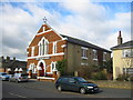
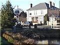
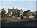
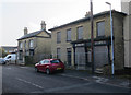

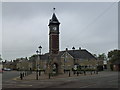
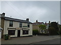

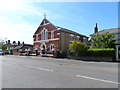
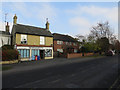


16 photos from this area
Area Information
Key information about the PE28 2SQ including its size, population, and administrative classification.
- Area Type
- Postcode
- Area Size
- 2.5 hectares
- Population
- 2136
- Population Density
- 170 people/km²
House Prices in PE28 2SQ
83
Properties
£157,771
Average Sold Price
£46,000
Lowest Price
£280,000
Highest Price
Showing 83 properties
| Address | Type | Beds | Baths | Last Sale Price | Last Sale Date | |
|---|---|---|---|---|---|---|
| 113 Orchard Close, Warboys, PE28 2SQ | Detached | 3 | 2 | £280,000 | Jul 2025 | |
| 59 Orchard Close, Warboys, PE28 2SQ | Terraced | 2 | 1 | £225,000 | Mar 2025 | |
| 17 Orchard Close, Warboys, PE28 2SQ | Terraced | 2 | 1 | £176,000 | Mar 2025 | |
| 35 Orchard Close, Warboys, PE28 2SQ | Terraced | 2 | 1 | £197,500 | Oct 2024 | |
| 8 Orchard Close, Warboys, PE28 2SQ | Semi-detached | 3 | 2 | £278,000 | Jun 2024 | |
| 37 Orchard Close, Warboys, PE28 2SQ | Terraced | 2 | 1 | £161,000 | Dec 2023 | |
| 95 Orchard Close, Warboys, PE28 2SQ | Terraced | 2 | 2 | £207,000 | Jun 2023 | |
| 1 Orchard Close, Warboys, PE28 2SQ | Bungalow | 3 | 1 | £248,000 | Apr 2023 | |
| 32 Orchard Close, Warboys, PE28 2SQ | Semi-detached | 3 | 1 | £249,995 | Feb 2023 | |
| 87 Orchard Close, Warboys, PE28 2SQ | Terraced | 2 | 1 | £212,000 | Jan 2023 |
Page 1 of 9
Energy Efficiency in PE28 2SQ
Amenities
Schools
| Rank | School | Type | Entry gender | Ages |
|---|
Explore more schools in this area
Go to Schools tabDemographics
Household Size
Two person
most common
Accommodation Type
Houses
most common
Tenure
70
majority
Ethnic Group
White
most common
Religion
N/A
most common
Household Composition
N/A
most common
Age
47
median
Adults (30-64 years)
most common
Household Deprivation
N/A
with no deprivation
NS-SEC
38
in Lower managerial occupations
Explore more demographic insights in this area
Go to Demographics tabPlanning
Planning Constraints
- Flood RiskPremium
- Ramsar Wetland SitesPremium
- Area of Outstanding Natural BeautyPremium
- Protected Nature ReservePremium
- Protected WoodlandPremium