Area Overview for PE27 5HF
Photos of PE27 5HF
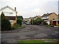
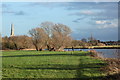
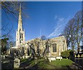
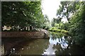
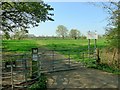
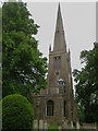
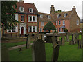
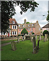
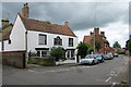
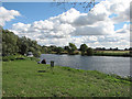
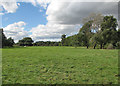
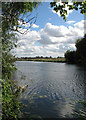
94 photos from this area
Area Information
Key information about the PE27 5HF including its size, population, and administrative classification.
- Area Type
- Postcode
- Area Size
- 45.0 hectares
- Population
- 1853
- Population Density
- 623 people/km²
House Prices in PE27 5HF
16
Properties
£268,125
Average Sold Price
£70,000
Lowest Price
£495,000
Highest Price
Showing 16 properties
| Address | Type | Beds | Baths | Last Sale Price | Last Sale Date | |
|---|---|---|---|---|---|---|
| 4 Hemingford Road, St Ives, PE27 5HF | Detached | 3 | 1 | £495,000 | May 2023 | |
| 63 Hemingford Road, St Ives, PE27 5HF | Bungalow | - | - | £370,000 | Jan 2022 | |
| 65 Hemingford Road, St Ives, PE27 5HF | Bungalow | 2 | - | £453,000 | Nov 2021 | |
| 12 Hemingford Road, St Ives, PE27 5HF | house | - | - | £385,000 | Sep 2016 | |
| 67 Hemingford Road, St Ives, PE27 5HF | Bungalow | 3 | - | £275,000 | Feb 2013 | |
| 61 Hemingford Road, St Ives, PE27 5HF | Detached | - | - | £330,000 | Sep 2009 | |
| 10 Hemingford Road, St Ives, PE27 5HF | house | - | - | £210,000 | Dec 2002 | |
| 57 Hemingford Road, St Ives, PE27 5HF | Detached | - | - | £262,000 | Mar 2002 | |
| 6 Hemingford Road, St Ives, PE27 5HF | Detached | - | - | £94,000 | Feb 1997 | |
| 55A Hemingford Road, St Ives, PE27 5HF | Detached | 4 | 1 | £125,000 | Dec 1996 |
Page 1 of 2
Energy Efficiency in PE27 5HF
Amenities
Schools
| Rank | School | Type | Entry gender | Ages |
|---|
Explore more schools in this area
Go to Schools tabDemographics
Household Size
Two person
most common
Accommodation Type
Houses
most common
Tenure
72
majority
Ethnic Group
White
most common
Religion
N/A
most common
Household Composition
N/A
most common
Age
47
median
Adults (30-64 years)
most common
Household Deprivation
N/A
with no deprivation
NS-SEC
46
in Lower managerial occupations
Explore more demographic insights in this area
Go to Demographics tabPlanning
Planning Constraints
- Flood RiskPremium
- Ramsar Wetland SitesPremium
- Area of Outstanding Natural BeautyPremium
- Protected Nature ReservePremium
- Protected WoodlandPremium