Area Overview for PE2 8NS
Photos of PE2 8NS
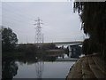
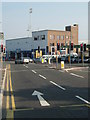
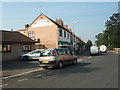
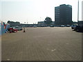
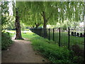
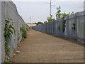
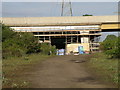
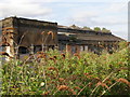
100 photos from this area
Area Information
Key information about the PE2 8NS including its size, population, and administrative classification.
- Area Type
- Postcode
- Area Size
- 5.8 hectares
- Population
- 1585
- Population Density
- 5006 people/km²
House Prices in PE2 8NS
98
Properties
£224,569
Average Sold Price
£81,200
Lowest Price
£407,000
Highest Price
Showing 98 properties
| Address | Type | Beds | Baths | Last Sale Price | Last Sale Date | |
|---|---|---|---|---|---|---|
| 79 Hawksbill Way, Peterborough, PE2 8NS | Semi-detached | 3 | 2 | £280,000 | Aug 2025 | |
| 75 Hawksbill Way, Peterborough, PE2 8NS | Detached | 4 | 3 | £407,000 | Jan 2025 | |
| 147 Hawksbill Way, Peterborough, PE2 8NS | Semi-detached | 3 | 2 | £247,500 | Mar 2024 | |
| 53 Hawksbill Way, Peterborough, PE2 8NS | Terraced | 3 | 2 | £300,000 | Feb 2023 | |
| 171 Hawksbill Way, Peterborough, PE2 8NS | house | - | - | £260,000 | Apr 2021 | |
| 39 Hawksbill Way, Peterborough, PE2 8NS | house | - | - | £81,200 | Jan 2021 | |
| 31 Hawksbill Way, Peterborough, PE2 8NS | Semi-detached | 3 | 3 | £232,500 | Dec 2020 | |
| 129 Hawksbill Way, Peterborough, PE2 8NS | Semi-detached | 3 | 2 | £232,500 | Oct 2018 | |
| 19 Hawksbill Way, Peterborough, PE2 8NS | Terraced | 3 | 2 | £239,750 | Aug 2016 | |
| 5 Hawksbill Way, Peterborough, PE2 8NS | house | - | - | £232,750 | Jun 2016 |
Page 1 of 10
Energy Efficiency in PE2 8NS
Amenities
Schools
| Rank | School | Type | Entry gender | Ages |
|---|
Explore more schools in this area
Go to Schools tabDemographics
Household Size
One person
most common
Accommodation Type
Flats
most common
Tenure
43
majority
Ethnic Group
White
most common
Religion
N/A
most common
Household Composition
N/A
most common
Age
47
median
Adults (30-64 years)
most common
Household Deprivation
N/A
with no deprivation
NS-SEC
38
in Lower managerial occupations
Explore more demographic insights in this area
Go to Demographics tabPlanning
Planning Constraints
- Flood RiskPremium
- Ramsar Wetland SitesPremium
- Area of Outstanding Natural BeautyPremium
- Protected Nature ReservePremium
- Protected WoodlandPremium