Area Overview for PE16 6SR
Photos of PE16 6SR
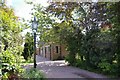
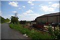
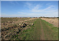
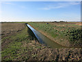
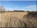
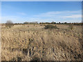
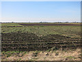
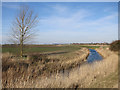
20 photos from this area
Area Information
Key information about the PE16 6SR including its size, population, and administrative classification.
- Area Type
- Postcode
- Area Size
- 26.5 hectares
- Population
- 1591
- Population Density
- 974 people/km²
House Prices in PE16 6SR
24
Properties
£176,195
Average Sold Price
£53,000
Lowest Price
£290,000
Highest Price
Showing 24 properties
| Address | Type | Beds | Baths | Last Sale Price | Last Sale Date | |
|---|---|---|---|---|---|---|
| 12 Blackmill Road, Chatteris, PE16 6SR | house | 3 | - | £220,250 | Jul 2022 | |
| 9 Blackmill Road, Chatteris, PE16 6SR | Bungalow | - | - | £290,000 | Mar 2022 | |
| Mill Lodge, Blackmill Road, Chatteris, PE16 6SR | Bungalow | 3 | 1 | £275,000 | Aug 2020 | |
| 14 Blackmill Road, Chatteris, PE16 6SR | Semi-detached | 3 | - | £235,000 | May 2020 | |
| 10 Blackmill Road, Chatteris, PE16 6SR | house | - | - | £199,995 | Aug 2017 | |
| 8 Blackmill Road, Chatteris, PE16 6SR | Semi-detached | 3 | - | £222,000 | Aug 2016 | |
| 16 Blackmill Road, Chatteris, PE16 6SR | Semi-detached | 3 | 1 | £173,000 | Jul 2014 | |
| 3 Blackmill Road, Chatteris, PE16 6SR | Bungalow | 3 | 1 | £229,995 | Sep 2005 | |
| 4 Blackmill Road, Chatteris, PE16 6SR | Semi-detached | - | - | £155,000 | Jun 2005 | |
| 1 Blackmill Road, Chatteris, PE16 6SR | Detached | - | - | £183,000 | Nov 2003 |
Page 1 of 3
Energy Efficiency in PE16 6SR
Amenities
Schools
| Rank | School | Type | Entry gender | Ages |
|---|
Explore more schools in this area
Go to Schools tabDemographics
Household Size
Two person
most common
Accommodation Type
Houses
most common
Tenure
77
majority
Ethnic Group
White
most common
Religion
N/A
most common
Household Composition
N/A
most common
Age
47
median
Adults (30-64 years)
most common
Household Deprivation
N/A
with no deprivation
NS-SEC
27
in Lower managerial occupations
Explore more demographic insights in this area
Go to Demographics tabPlanning
Planning Constraints
- Flood RiskPremium
- Ramsar Wetland SitesPremium
- Area of Outstanding Natural BeautyPremium
- Protected Nature ReservePremium
- Protected WoodlandPremium