Area Overview for PE15 0BA
Photos of PE15 0BA
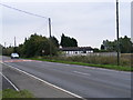
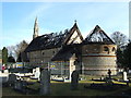
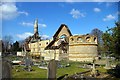
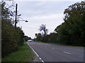


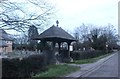
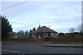
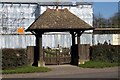


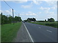
17 photos from this area
Area Information
Key information about the PE15 0BA including its size, population, and administrative classification.
- Area Type
- Postcode
- Area Size
- 2.3 km²
- Population
- 1984
- Population Density
- 79 people/km²
House Prices in PE15 0BA
70
Properties
£235,870
Average Sold Price
£41,500
Lowest Price
£655,000
Highest Price
Showing 70 properties
| Address | Type | Beds | Baths | Last Sale Price | Last Sale Date | |
|---|---|---|---|---|---|---|
| The Chimneys, 322 Wisbech Road, Westry, PE15 0BA | Bungalow | 3 | - | £200,000 | Nov 2023 | |
| Shimplings, 445 Wisbech Road, Westry, PE15 0BA | Bungalow | 2 | 1 | £175,000 | Aug 2023 | |
| The Hollies, 371 Wisbech Road, Westry, PE15 0BA | Bungalow | 3 | 1 | £375,000 | Sep 2022 | |
| Rusholme, 383 Wisbech Road, Westry, PE15 0BA | Detached | 6 | 4 | £590,000 | Dec 2021 | |
| Mayfield, 443 Wisbech Road, Westry, PE15 0BA | Bungalow | 3 | 1 | £195,000 | Jun 2021 | |
| The Grange, 380 Wisbech Road, Westry, PE15 0BA | Detached | 5 | 2 | £655,000 | Jun 2021 | |
| Cherry Tree Bungalow, 375 Wisbech Road, Westry, PE15 0BA | Bungalow | 4 | 3 | £415,000 | Mar 2021 | |
| New Marshall House, 386 Wisbech Road, Westry, PE15 0BA | Detached | 3 | 2 | £452,000 | Nov 2020 | |
| Sheperds Folly, 315 Wisbech Road, Westry, PE15 0BA | Land | 3 | 2 | £295,000 | Sep 2020 | |
| Bourbon, 313 Wisbech Road, Westry, PE15 0BA | Bungalow | - | - | £200,000 | Jul 2020 |
Page 1 of 7
Energy Efficiency in PE15 0BA
Amenities
Schools
| Rank | School | Type | Entry gender | Ages |
|---|
Explore more schools in this area
Go to Schools tabDemographics
Household Size
Two person
most common
Accommodation Type
Houses
most common
Tenure
76
majority
Ethnic Group
White
most common
Religion
N/A
most common
Household Composition
N/A
most common
Age
47
median
Adults (30-64 years)
most common
Household Deprivation
N/A
with no deprivation
NS-SEC
18
in Lower managerial occupations
Explore more demographic insights in this area
Go to Demographics tabPlanning
Planning Constraints
- Flood RiskPremium
- Ramsar Wetland SitesPremium
- Area of Outstanding Natural BeautyPremium
- Protected Nature ReservePremium
- Protected WoodlandPremium