Area Overview for PE14 9SE
Photos of PE14 9SE
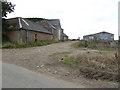
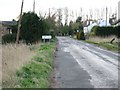
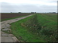
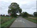
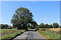
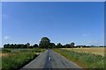
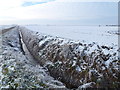
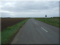
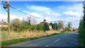
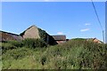
11 photos from this area
Area Information
Key information about the PE14 9SE including its size, population, and administrative classification.
- Area Type
- Postcode
- Area Size
- 40.5 hectares
- Population
- 1976
- Population Density
- 45 people/km²
House Prices in PE14 9SE
5
Properties
£268,333
Average Sold Price
£125,000
Lowest Price
£470,000
Highest Price
Showing 5 properties
| Address | Type | Beds | Baths | Last Sale Price | Last Sale Date | |
|---|---|---|---|---|---|---|
| Long Acre, March Road, Welney, PE14 9SE | Bungalow | - | - | £125,000 | Nov 2020 | |
| Silver Crest, March Road, Welney, PE14 9SE | office_workshop | - | - | £470,000 | Jul 2020 | |
| Mill Farm Bungalow, March Road, Welney, PE14 9SE | Bungalow | - | - | £210,000 | Feb 2014 | |
| MILL HOUSE, MARCH ROAD, Welney, PE14 9SE | Detached | - | - | - | - | |
| Dem Sports Ltd, March Road, Welney, PE14 9SE | Retail | - | - | - | - |
Energy Efficiency in PE14 9SE
Amenities
Schools
| Rank | School | Type | Entry gender | Ages |
|---|
Explore more schools in this area
Go to Schools tabDemographics
Household Size
Two person
most common
Accommodation Type
Houses
most common
Tenure
74
majority
Ethnic Group
White
most common
Religion
N/A
most common
Household Composition
N/A
most common
Age
47
median
Adults (30-64 years)
most common
Household Deprivation
N/A
with no deprivation
NS-SEC
25
in Lower managerial occupations
Explore more demographic insights in this area
Go to Demographics tabPlanning
Planning Constraints
- Flood RiskPremium
- Ramsar Wetland SitesPremium
- Area of Outstanding Natural BeautyPremium
- Protected Nature ReservePremium
- Protected WoodlandPremium