Area Overview for PE14 8QR
Photos of PE14 8QR
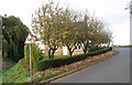
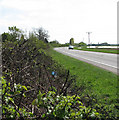
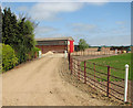
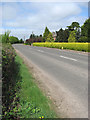
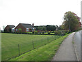
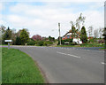
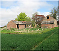
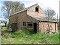
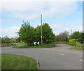
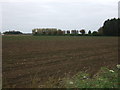
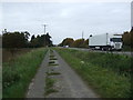
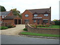
51 photos from this area
Area Information
Key information about the PE14 8QR including its size, population, and administrative classification.
- Area Type
- Postcode
- Area Size
- 35.8 hectares
- Population
- 1858
- Population Density
- 215 people/km²
House Prices in PE14 8QR
11
Properties
£462,500
Average Sold Price
£300,000
Lowest Price
£625,000
Highest Price
Showing 11 properties
| Address | Type | Beds | Baths | Last Sale Price | Last Sale Date | |
|---|---|---|---|---|---|---|
| 246 Outwell Road, Emneth, PE14 8QR | Bungalow | 3 | 2 | £300,000 | Sep 2022 | |
| Rugosa Lodge, Outwell Road, Outwell, PE14 8QR | Land | 3 | 2 | £625,000 | Jan 2022 | |
| The Newlings, Outwell Road, Emneth, PE14 8QR | house | 5 | 3 | - | - | |
| The Nursery, 253 Outwell Road, Emneth, PE14 8QR | Detached | 5 | 2 | - | - | |
| Birches, 247A Outwell Road, Emneth, PE14 8QR | Detached | 5 | - | - | - | |
| Firvale, 245 Outwell Road, Emneth, PE14 8QR | Detached | 4 | - | - | - | |
| Dunroamin, 248 Outwell Road, Emneth, PE14 8QR | Bungalow | 3 | - | - | - | |
| Rowdale House, 251 Outwell Road, Emneth, PE14 8QR | house | 5 | - | - | - | |
| 249 Wisbech Road, Outwell, PE14 8QR | undefined | - | - | - | - | |
| Birch Haven, 250 Outwell Road, Emneth, PE14 8QR | Bungalow | - | - | - | - |
Page 1 of 2
Energy Efficiency in PE14 8QR
Amenities
Schools
| Rank | School | Type | Entry gender | Ages |
|---|
Explore more schools in this area
Go to Schools tabDemographics
Household Size
Two person
most common
Accommodation Type
Houses
most common
Tenure
77
majority
Ethnic Group
White
most common
Religion
N/A
most common
Household Composition
N/A
most common
Age
47
median
Adults (30-64 years)
most common
Household Deprivation
N/A
with no deprivation
NS-SEC
26
in Lower managerial occupations
Explore more demographic insights in this area
Go to Demographics tabPlanning
Planning Constraints
- Flood RiskPremium
- Ramsar Wetland SitesPremium
- Area of Outstanding Natural BeautyPremium
- Protected Nature ReservePremium
- Protected WoodlandPremium