Area Overview for PE13 5PP
Photos of PE13 5PP
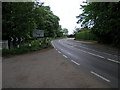
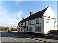
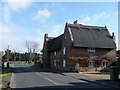

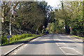
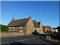
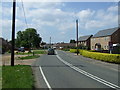
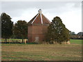
17 photos from this area
Area Information
Key information about the PE13 5PP including its size, population, and administrative classification.
- Area Type
- Postcode
- Area Size
- 8350 m²
- Population
- 1860
- Population Density
- 1018 people/km²
House Prices in PE13 5PP
17
Properties
£148,862
Average Sold Price
£105,000
Lowest Price
£222,500
Highest Price
Showing 17 properties
| Address | Type | Beds | Baths | Last Sale Price | Last Sale Date | |
|---|---|---|---|---|---|---|
| 8 Munday Way, Leverington, PE13 5PP | Bungalow | 2 | 1 | £222,500 | Jul 2022 | |
| 16 Munday Way, Leverington, PE13 5PP | Detached | - | - | £130,666 | Nov 2020 | |
| 28 Munday Way, Leverington, PE13 5PP | Bungalow | 2 | 1 | £180,000 | Oct 2020 | |
| 2 Munday Way, Leverington, PE13 5PP | Bungalow | - | - | £202,000 | Jan 2019 | |
| Thistle Dubh, 10 Munday Way, Leverington, PE13 5PP | Bungalow | 2 | 1 | £200,000 | Oct 2018 | |
| 12 Munday Way, Leverington, PE13 5PP | Bungalow | 2 | 1 | £195,000 | Sep 2018 | |
| 4 Munday Way, Leverington, PE13 5PP | Detached | - | - | £121,500 | Aug 2013 | |
| 26 Munday Way, Leverington, PE13 5PP | Bungalow | 2 | 1 | £143,000 | Dec 2012 | |
| 34 Munday Way, Leverington, PE13 5PP | Bungalow | 2 | - | £137,000 | Aug 2011 | |
| 14 Munday Way, Leverington, PE13 5PP | Bungalow | 2 | - | £150,000 | Sep 2010 |
Page 1 of 2
Energy Efficiency in PE13 5PP
Amenities
Schools
| Rank | School | Type | Entry gender | Ages |
|---|
Explore more schools in this area
Go to Schools tabDemographics
Household Size
Two person
most common
Accommodation Type
Houses
most common
Tenure
72
majority
Ethnic Group
White
most common
Religion
N/A
most common
Household Composition
N/A
most common
Age
47
median
Adults (30-64 years)
most common
Household Deprivation
N/A
with no deprivation
NS-SEC
24
in Lower managerial occupations
Explore more demographic insights in this area
Go to Demographics tabPlanning
Planning Constraints
- Flood RiskPremium
- Ramsar Wetland SitesPremium
- Area of Outstanding Natural BeautyPremium
- Protected Nature ReservePremium
- Protected WoodlandPremium