Area Overview for PE13 5BB
Photos of PE13 5BB
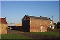
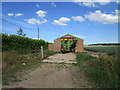
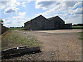
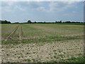
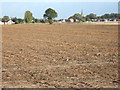
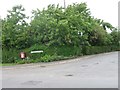
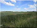
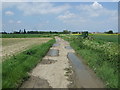
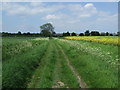
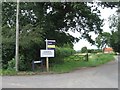
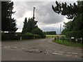
11 photos from this area
Area Information
Key information about the PE13 5BB including its size, population, and administrative classification.
- Area Type
- Postcode
- Area Size
- 1.4 hectares
- Population
- 1860
- Population Density
- 1018 people/km²
House Prices in PE13 5BB
28
Properties
£133,996
Average Sold Price
£39,000
Lowest Price
£245,000
Highest Price
Showing 28 properties
| Address | Type | Beds | Baths | Last Sale Price | Last Sale Date | |
|---|---|---|---|---|---|---|
| 114 Gorefield Road, Leverington, PE13 5BB | house | - | - | £160,000 | Feb 2023 | |
| 128 Gorefield Road, Leverington, PE13 5BB | house | - | - | £245,000 | Nov 2022 | |
| 124 Gorefield Road, Leverington, PE13 5BB | Semi-detached | 3 | 1 | £165,000 | Jan 2021 | |
| 110 Gorefield Road, Leverington, PE13 5BB | house | - | - | £149,500 | Feb 2019 | |
| Elvedon Cottage, 127 Gorefield Road, Leverington, PE13 5BB | house | 4 | - | £190,000 | May 2012 | |
| 108 Gorefield Road, Leverington, PE13 5BB | Semi-detached | 3 | 1 | £90,000 | Feb 2012 | |
| 96 Gorefield Road, Leverington, PE13 5BB | Semi-detached | 3 | 1 | £86,950 | Jun 2009 | |
| 118 Gorefield Road, Leverington, PE13 5BB | Semi-detached | - | - | £124,000 | Jun 2008 | |
| 126 Gorefield Road, Leverington, PE13 5BB | house | - | - | £135,000 | Jul 2007 | |
| 116 Gorefield Road, Leverington, PE13 5BB | house | - | - | £95,000 | Dec 2006 |
Page 1 of 3
Energy Efficiency in PE13 5BB
Amenities
Schools
| Rank | School | Type | Entry gender | Ages |
|---|
Explore more schools in this area
Go to Schools tabDemographics
Household Size
Two person
most common
Accommodation Type
Houses
most common
Tenure
72
majority
Ethnic Group
White
most common
Religion
N/A
most common
Household Composition
N/A
most common
Age
47
median
Adults (30-64 years)
most common
Household Deprivation
N/A
with no deprivation
NS-SEC
24
in Lower managerial occupations
Explore more demographic insights in this area
Go to Demographics tabPlanning
Planning Constraints
- Flood RiskPremium
- Ramsar Wetland SitesPremium
- Area of Outstanding Natural BeautyPremium
- Protected Nature ReservePremium
- Protected WoodlandPremium