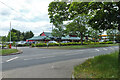
Area Overview for Patchetts Green
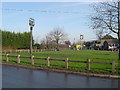
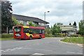
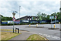
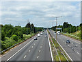
Photos of Patchetts Green


Area Information
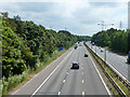
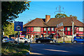
Patchedts Green is a compact built-up area in England, spanning 20.6 hectares. Its size suggests a focused, possibly suburban character, though the exact nature of its layout is not specified. The area’s population is defined by a median age of 70, indicating a community skewed toward older residents. This demographic profile shapes the rhythm of daily life, with a likely emphasis on established routines and local services. The presence of five retail outlets, including Costco Watford and Tesco Bushey, suggests accessibility to essential shopping. Nearby transport links are robust, with five railway stations and three metro stops within practical reach, connecting residents to Watford, London, and surrounding areas. These connections make commuting or travel to nearby hubs straightforward. While the data does not specify the area’s history, its proximity to major transport nodes and retail centres implies a role as a functional node within the region’s infrastructure. For prospective buyers, the balance of age demographics and transport options may appeal to those seeking a settled, connected community with minimal need for long commutes.
- Area Type
- Built Up Area 250
- Area Size
- 20.6 hectares
- Population
- Not available
- Population Density
- Not available
Living in Patchetts Green offers access to a range of amenities within easy reach. Retail options include Costco Watford, Tesco Bushey, and Spar, providing essential shopping for groceries and daily needs. The area’s transport network is extensive, with railway stations such as Watford High Street and Croxley Underground Station enabling swift travel to nearby towns and cities. While the data does not specify parks or leisure facilities, the presence of multiple retail and transport hubs suggests a focus on practicality over expansive green spaces. The local character is defined by convenience, with residents able to access shops, dining, and transport without long journeys. The proximity to major roads and stations also implies a connection to broader regional networks, enhancing accessibility to cultural or recreational opportunities beyond the immediate area. For those prioritising ease of movement and access to services, Patchetts Green’s amenities align with a lifestyle centred on efficiency and connectivity.
Amenities
Schools
| Rank | School | Type | Entry gender | Ages |
|---|
Explore more schools in this area
Go to Schools tabDemographics
The population of Patchetts Green has a median age of 70, placing it well above the national average. This suggests a community dominated by older residents, with a significant proportion of the population likely retired or nearing retirement. The most common age range is listed as “Age: Total,” which may reflect aggregated data rather than a specific cohort. Home ownership in the area stands at 60%, indicating that nearly two-thirds of residents live in properties they own, while the remaining 40% may rent. The household composition and accommodation types are not detailed, but the data notes “total” for both categories, implying a mix of family units, single-person households, and other configurations. Ethnicity and religion are also reported as “total,” meaning no breakdown is available. This lack of specificity means the area’s diversity cannot be quantified, though the presence of multiple retail and transport hubs suggests a degree of accessibility for varied demographics. The older population profile may influence local services, with a focus on healthcare, leisure, and community amenities tailored to mature residents.
Household Size
Accommodation Type
Tenure
Ethnic Group
Religion
Household Composition
Age
Household Deprivation
NS-SEC
Explore more demographic insights in this area
Go to Demographics tabPlanning
Planning Constraints
- Crime RiskPremium