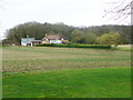
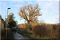
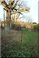
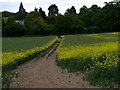
Area Overview for Offa Ward
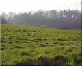
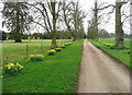
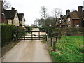
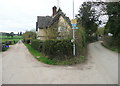
Photos of Offa Ward
Area Information
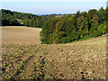
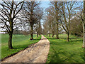
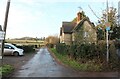
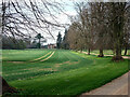
Living in Offa Ward means residing within an electoral ward in Wrexham County Borough, Wales. This district covers 47.1 km² and relies on a local council for administration and elections. The ward functions as a defined administrative division for Wrexham County Borough Council. You are located near Wrexham town centre, which provides access to local amenities. The boundaries for this ward were established for the 2022 elections. Previous mappings refer to similar areas like Hitchwood, Offa and Hoo Ward, but those are distinct entities in other regions. Offa Ward stands apart from the abolished or changed English ward of the same name. Your daily life centres on this specific Welsh locality rather than the eastern English counterpart. The area surrounds given coordinates that locate it in this specific part of Wales. It is a place where administrative history meets current residential needs. Residents navigate a landscape defined by clear ward lines and local governance structures. The environment here is shaped by its membership in Wrexham County Borough. You find a community grounded in these specific geographical and political boundaries.
- Area Type
- District Borough Unitary Ward
- Area Size
- 47.1 km²
- Population
- Not available
- Population Density
- Not available
Demographics
The community in Offa Ward reflects a distinct age profile where life expectancy or population concentration skews significantly older. The median age here is 70 years. This statistic indicates that the typical resident is quite elderly compared to national averages. You are certainly not in a youthful or family-dominated zone of Wrexham County Borough. The demographic data lists the most common age range simply as Age: Total, which confirms the comprehensive nature of the count but offers no further breakdown. Home ownership stands at 68% in this ward. This figure places the area firmly in an owner-occupied category rather than a rental market. A significant majority of households possess their own homes, suggesting stability for those who have settled here. The household composition data is recorded as total, providing a baseline without specific breakdowns into single-person, couple, or family units. Similarly, accommodation types are listed as total, preventing a detailed analysis of housing styles like flats or detached houses in this summary. Predominant ethnic groups, religious affiliations, and specific deprivation metrics are not detailed in the available figures for Offa Ward. While the age and ownership stats are clear, the diversity and specific socioeconomic grades remain unspecified. You should expect a neighbourly environment where most residents have a long-term stake in the property. The high ownership rate often correlates with slower population turnover, which aligns with the older median age.
Household Size
Accommodation Type
Tenure
Ethnic Group
Religion
Household Composition
Age
Household Deprivation
NS-SEC
Explore more demographic insights in this area
Go to Demographics tabPlanning
Planning Constraints
- Flood RiskPremium
- Ramsar Wetland SitesPremium
- Area of Outstanding Natural BeautyPremium
- Protected Nature ReservePremium
- Protected WoodlandPremium
- Crime RiskPremium