Area Overview for NR9 5SF
Photos of NR9 5SF
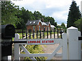
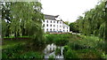
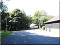
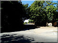
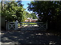
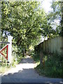
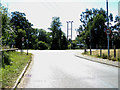
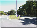
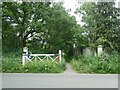
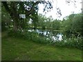
34 photos from this area
Area Information
Key information about the NR9 5SF including its size, population, and administrative classification.
- Area Type
- Postcode
- Area Size
- 9752 m²
- Population
- 1462
- Population Density
- 51 people/km²
House Prices in NR9 5SF
8
Properties
£286,000
Average Sold Price
£120,000
Lowest Price
£440,000
Highest Price
Showing 8 properties
| Address | Type | Beds | Baths | Last Sale Price | Last Sale Date | |
|---|---|---|---|---|---|---|
| Spring Garth, 7 Ladys Row, Lenwade, NR9 5SF | Bungalow | 3 | 1 | £440,000 | Aug 2025 | |
| Apple Cottage, 2 Ladys Row, Lenwade, NR9 5SF | house | 1 | 1 | £375,000 | May 2023 | |
| Smithfield House, 4 Ladys Row, Lenwade, NR9 5SF | Detached | 4 | - | £209,000 | Jul 2015 | |
| 5 Ladys Row, Lenwade, NR9 5SF | Bungalow | - | - | £120,000 | Sep 2002 | |
| Tennis 36M From 3 Ladys Row 54M From Lady's Row, Ladys Row, Lenwade, NR9 5SF | Leisure | - | - | - | - | |
| 3 Ladys Row, Lenwade, NR9 5SF | Detached | - | - | - | - | |
| 1 Ladys Row, Lenwade, NR9 5SF | Detached | - | - | - | - | |
| Milcot, 9 Ladys Row, Lenwade, NR9 5SF | Detached | - | - | - | - |
Energy Efficiency in NR9 5SF
Amenities
Schools
| Rank | School | Type | Entry gender | Ages |
|---|
Explore more schools in this area
Go to Schools tabDemographics
Household Size
Two person
most common
Accommodation Type
Houses
most common
Tenure
75
majority
Ethnic Group
White
most common
Religion
N/A
most common
Household Composition
N/A
most common
Age
47
median
Adults (30-64 years)
most common
Household Deprivation
N/A
with no deprivation
NS-SEC
35
in Lower managerial occupations
Explore more demographic insights in this area
Go to Demographics tabPlanning
Planning Constraints
- Flood RiskPremium
- Ramsar Wetland SitesPremium
- Area of Outstanding Natural BeautyPremium
- Protected Nature ReservePremium
- Protected WoodlandPremium