Area Overview for NR9 5RE
Photos of NR9 5RE
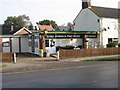
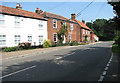
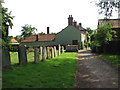
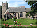
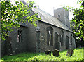
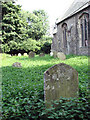
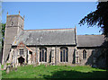
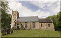
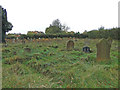
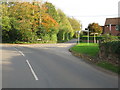
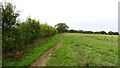
47 photos from this area
Area Information
Key information about the NR9 5RE including its size, population, and administrative classification.
- Area Type
- Postcode
- Area Size
- 3.2 hectares
- Population
- 2468
- Population Density
- 74 people/km²
House Prices in NR9 5RE
17
Properties
£200,660
Average Sold Price
£127,500
Lowest Price
£340,000
Highest Price
Showing 17 properties
| Address | Type | Beds | Baths | Last Sale Price | Last Sale Date | |
|---|---|---|---|---|---|---|
| 11 Soanes Court, Lyng, NR9 5RE | house | 5 | 2 | £303,000 | Sep 2022 | |
| Balnacoyle, Soanes Court, Lyng, NR9 5RE | house | - | - | £340,000 | Jan 2021 | |
| 3 Soanes Court, Lyng, NR9 5RE | Bungalow | - | - | £244,000 | Jan 2021 | |
| 6 Soanes Court, Lyng, NR9 5RE | Bungalow | - | - | £185,250 | Nov 2019 | |
| 10 Soanes Court, Lyng, NR9 5RE | Bungalow | - | - | £217,000 | Dec 2018 | |
| 12 Soanes Court, Lyng, NR9 5RE | Semi-detached | 4 | 2 | £217,500 | Dec 2016 | |
| 7 Soanes Court, Lyng, NR9 5RE | Semi-detached | 2 | - | £157,000 | Nov 2015 | |
| Oak House, Soanes Court, Lyng, NR9 5RE | Detached | 4 | - | £240,000 | Aug 2013 | |
| 1 Soanes Court, Lyng, NR9 5RE | Bungalow | 2 | - | £167,200 | Dec 2011 | |
| 5 Soanes Court, Lyng, NR9 5RE | Bungalow | 2 | - | £137,500 | Oct 2010 |
Page 1 of 2
Energy Efficiency in NR9 5RE
Amenities
Schools
| Rank | School | Type | Entry gender | Ages |
|---|
Explore more schools in this area
Go to Schools tabDemographics
Household Size
Two person
most common
Accommodation Type
Houses
most common
Tenure
78
majority
Ethnic Group
White
most common
Religion
N/A
most common
Household Composition
N/A
most common
Age
47
median
Adults (30-64 years)
most common
Household Deprivation
N/A
with no deprivation
NS-SEC
35
in Lower managerial occupations
Explore more demographic insights in this area
Go to Demographics tabPlanning
Planning Constraints
- Flood RiskPremium
- Ramsar Wetland SitesPremium
- Area of Outstanding Natural BeautyPremium
- Protected Nature ReservePremium
- Protected WoodlandPremium