Area Overview for NR9 5BZ
Photos of NR9 5BZ
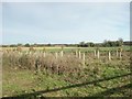
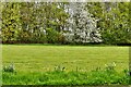
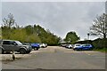
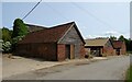
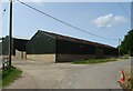
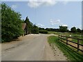
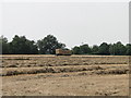
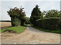
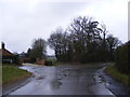
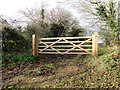
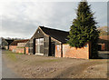
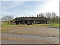
12 photos from this area
Area Information
Key information about the NR9 5BZ including its size, population, and administrative classification.
- Area Type
- Postcode
- Area Size
- 71.3 hectares
- Population
- 1462
- Population Density
- 51 people/km²
House Prices in NR9 5BZ
26
Properties
£447,500
Average Sold Price
£165,000
Lowest Price
£825,000
Highest Price
Showing 26 properties
| Address | Type | Beds | Baths | Last Sale Price | Last Sale Date | |
|---|---|---|---|---|---|---|
| Manor Barn, Norwich Road, Colton, NR9 5BZ | Detached | 5 | 3 | £825,000 | Oct 2021 | |
| Poachers Rest, Norwich Road, Colton, NR9 5BZ | Semi-detached | 3 | 3 | £655,000 | May 2019 | |
| Oaklands, Norwich Road, Colton, NR9 5BZ | Detached | 4 | 1 | £425,000 | Nov 2018 | |
| The Old Post Office, Norwich Road, Colton, NR9 5BZ | Bungalow | 5 | 1 | £285,000 | Jul 2016 | |
| Rowans, Norwich Road, Colton, NR9 5BZ | house | 4 | - | £330,000 | Jan 2014 | |
| Felstead House, Norwich Road, Colton, NR9 5BZ | Detached | 5 | 3 | £165,000 | Apr 2004 | |
| The Willows, Norwich Road, Colton, NR9 5BZ | Farm | 3 | 2 | - | - | |
| Briar Cottage, Norwich Road, Colton, NR9 5BZ | Detached | - | - | - | - | |
| 2, Manor Farm, Norwich Road, Colton, NR9 5BZ | Detached | - | - | - | - | |
| Colton Manor House, Norwich Road, Colton, NR9 5BZ | Detached | - | - | - | - |
Page 1 of 3
Energy Efficiency in NR9 5BZ
Amenities
Schools
| Rank | School | Type | Entry gender | Ages |
|---|
Explore more schools in this area
Go to Schools tabDemographics
Household Size
Two person
most common
Accommodation Type
Houses
most common
Tenure
75
majority
Ethnic Group
White
most common
Religion
N/A
most common
Household Composition
N/A
most common
Age
47
median
Adults (30-64 years)
most common
Household Deprivation
N/A
with no deprivation
NS-SEC
35
in Lower managerial occupations
Explore more demographic insights in this area
Go to Demographics tabPlanning
Planning Constraints
- Flood RiskPremium
- Ramsar Wetland SitesPremium
- Area of Outstanding Natural BeautyPremium
- Protected Nature ReservePremium
- Protected WoodlandPremium