Area Overview for NR9 4BE
Photos of NR9 4BE
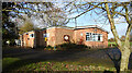
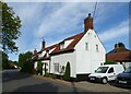
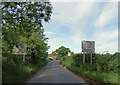
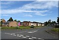
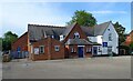
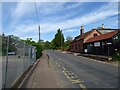
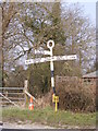
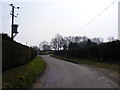
46 photos from this area
Area Information
Key information about the NR9 4BE including its size, population, and administrative classification.
- Area Type
- Postcode
- Area Size
- 7.7 hectares
- Population
- 1154
- Population Density
- 47 people/km²
House Prices in NR9 4BE
26
Properties
£289,567
Average Sold Price
£60,000
Lowest Price
£445,000
Highest Price
Showing 26 properties
| Address | Type | Beds | Baths | Last Sale Price | Last Sale Date | |
|---|---|---|---|---|---|---|
| 19 Style Loke, Barford, NR9 4BE | Bungalow | 3 | 2 | £392,000 | Jun 2024 | |
| 3 Style Loke, Barford, NR9 4BE | Bungalow | 4 | 2 | £375,000 | Jun 2024 | |
| 2 Style Loke, Barford, NR9 4BE | Detached | 5 | 1 | £445,000 | Apr 2022 | |
| 11 Style Loke, Barford, NR9 4BE | Bungalow | 3 | 1 | £208,000 | Nov 2019 | |
| 14 Style Loke, Barford, NR9 4BE | Bungalow | 3 | 1 | £325,000 | Oct 2019 | |
| 18 Style Loke, Barford, NR9 4BE | Bungalow | 3 | 2 | £370,000 | Jul 2016 | |
| 16 Style Loke, Barford, NR9 4BE | Bungalow | 3 | 1 | £418,000 | Jul 2016 | |
| 15 Style Loke, Barford, NR9 4BE | Bungalow | 3 | - | £314,500 | Aug 2010 | |
| 7A Style Loke, Barford, NR9 4BE | house | - | - | £335,000 | May 2010 | |
| 9 Style Loke, Barford, NR9 4BE | Bungalow | 5 | 3 | £425,000 | Oct 2009 |
Page 1 of 3
Energy Efficiency in NR9 4BE
Amenities
Schools
| Rank | School | Type | Entry gender | Ages |
|---|
Explore more schools in this area
Go to Schools tabDemographics
Household Size
Two person
most common
Accommodation Type
Houses
most common
Tenure
78
majority
Ethnic Group
White
most common
Religion
N/A
most common
Household Composition
N/A
most common
Age
47
median
Adults (30-64 years)
most common
Household Deprivation
N/A
with no deprivation
NS-SEC
44
in Lower managerial occupations
Explore more demographic insights in this area
Go to Demographics tabPlanning
Planning Constraints
- Flood RiskPremium
- Ramsar Wetland SitesPremium
- Area of Outstanding Natural BeautyPremium
- Protected Nature ReservePremium
- Protected WoodlandPremium