Area Overview for NR8 6NJ
Photos of NR8 6NJ
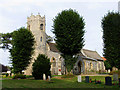
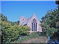
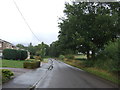
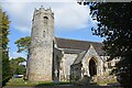
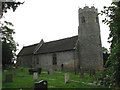
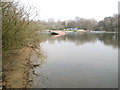
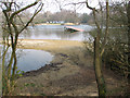
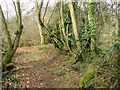
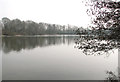
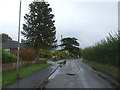
22 photos from this area
Area Information
Key information about the NR8 6NJ including its size, population, and administrative classification.
- Area Type
- Postcode
- Area Size
- 7137 m²
- Population
- 1582
- Population Density
- 1948 people/km²
House Prices in NR8 6NJ
12
Properties
£256,800
Average Sold Price
£55,750
Lowest Price
£380,000
Highest Price
Showing 12 properties
| Address | Type | Beds | Baths | Last Sale Price | Last Sale Date | |
|---|---|---|---|---|---|---|
| 2 Penn Road, Taverham, NR8 6NJ | Chalet | 6 | 3 | £380,000 | Sep 2025 | |
| 13 Penn Road, Taverham, NR8 6NJ | Bungalow | - | - | £327,000 | Jan 2021 | |
| 3 Penn Road, Taverham, NR8 6NJ | Bungalow | 4 | 1 | £275,000 | Feb 2018 | |
| Maragowen, 10 Penn Road, Taverham, NR8 6NJ | Bungalow | 3 | 1 | £246,250 | Jul 2017 | |
| 7 Penn Road, Taverham, NR8 6NJ | Semi-detached | - | - | £55,750 | Feb 1995 | |
| 4 Penn Road, Taverham, NR8 6NJ | Detached | 3 | 1 | - | - | |
| 11 Penn Road, Taverham, NR8 6NJ | Chalet | 3 | 1 | - | - | |
| 6 Penn Road, Taverham, NR8 6NJ | Bungalow | 3 | 1 | - | - | |
| 8 Penn Road, Taverham, NR8 6NJ | Detached | - | - | - | - | |
| 5 Penn Road, Taverham, NR8 6NJ | Detached | - | - | - | - |
Page 1 of 2
Energy Efficiency in NR8 6NJ
Amenities
Schools
| Rank | School | Type | Entry gender | Ages |
|---|
Explore more schools in this area
Go to Schools tabDemographics
Household Size
Two person
most common
Accommodation Type
Houses
most common
Tenure
94
majority
Ethnic Group
White
most common
Religion
N/A
most common
Household Composition
N/A
most common
Age
47
median
Elderly (65+ years)
most common
Household Deprivation
N/A
with no deprivation
NS-SEC
33
in Lower managerial occupations
Explore more demographic insights in this area
Go to Demographics tabPlanning
Planning Constraints
- Flood RiskPremium
- Ramsar Wetland SitesPremium
- Area of Outstanding Natural BeautyPremium
- Protected Nature ReservePremium
- Protected WoodlandPremium