Area Overview for NR8 6HR
Photos of NR8 6HR
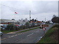
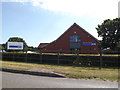
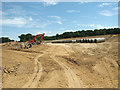
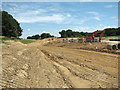
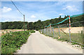
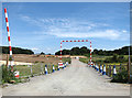
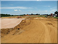
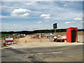
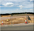
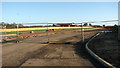

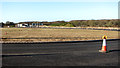
25 photos from this area
Area Information
Key information about the NR8 6HR including its size, population, and administrative classification.
- Area Type
- Postcode
- Area Size
- 28.2 hectares
- Population
- 1622
- Population Density
- 808 people/km²
House Prices in NR8 6HR
8
Properties
£326,875
Average Sold Price
£265,000
Lowest Price
£365,000
Highest Price
Showing 8 properties
| Address | Type | Beds | Baths | Last Sale Price | Last Sale Date | |
|---|---|---|---|---|---|---|
| Lady Charlottes Cottage, Fakenham Road, Taverham, NR8 6HR | house | 6 | - | £327,500 | Nov 2014 | |
| Glenwood, Fakenham Road, Taverham, NR8 6HR | Bungalow | 5 | 3 | £265,000 | Sep 2013 | |
| Garfield Bungalow, Fakenham Road, Taverham, NR8 6HR | Detached | - | - | £350,000 | Mar 2010 | |
| Green Acres, Fakenham Road, Taverham, NR8 6HR | Bungalow | 3 | - | £365,000 | Dec 2009 | |
| Annexe, Foxwood, Fakenham Road, Taverham, NR8 6HR | Detached | - | - | - | - | |
| Sycamore, Fakenham Road, Taverham, NR8 6HR | Detached | - | - | - | - | |
| Foxwood, Fakenham Road, Taverham, NR8 6HR | Detached | - | - | - | - | |
| Heathwood, Fakenham Road, Taverham, NR8 6HR | Detached | - | - | - | - |
Energy Efficiency in NR8 6HR
Amenities
Schools
| Rank | School | Type | Entry gender | Ages |
|---|
Explore more schools in this area
Go to Schools tabDemographics
Household Size
Family (3-5 people)
most common
Accommodation Type
Houses
most common
Tenure
80
majority
Ethnic Group
White
most common
Religion
N/A
most common
Household Composition
N/A
most common
Age
47
median
Adults (30-64 years)
most common
Household Deprivation
N/A
with no deprivation
NS-SEC
35
in Lower managerial occupations
Explore more demographic insights in this area
Go to Demographics tabPlanning
Planning Constraints
- Flood RiskPremium
- Ramsar Wetland SitesPremium
- Area of Outstanding Natural BeautyPremium
- Protected Nature ReservePremium
- Protected WoodlandPremium