Area Overview for NR8 5EF
Photos of NR8 5EF
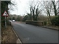
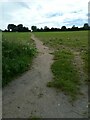
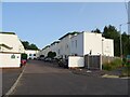
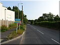
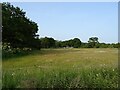
12 photos from this area
Area Information
Key information about the NR8 5EF including its size, population, and administrative classification.
- Area Type
- Postcode
- Area Size
- 3.0 hectares
- Population
- 1628
- Population Density
- 449 people/km²
House Prices in NR8 5EF
11
Properties
£438,571
Average Sold Price
£60,000
Lowest Price
£950,000
Highest Price
Showing 11 properties
| Address | Type | Beds | Baths | Last Sale Price | Last Sale Date | |
|---|---|---|---|---|---|---|
| The Quillet, Folgate Lane, Costessey, NR8 5EF | Bungalow | - | - | £645,000 | Nov 2021 | |
| Eastwood, Folgate Lane, Costessey, NR8 5EF | Detached | 5 | 5 | £950,000 | Jun 2019 | |
| Acorns, Folgate Lane, Costessey, NR8 5EF | Bungalow | 3 | 1 | £360,000 | Nov 2018 | |
| White Gates, Folgate Lane, Costessey, NR8 5EF | Bungalow | 3 | 3 | £442,500 | Jun 2016 | |
| Chestnut Lodge, Folgate Lane, Costessey, NR8 5EF | house | - | - | £375,000 | Sep 2012 | |
| Carrs Hill House, Folgate Lane, Costessey, NR8 5EF | Detached | - | - | £237,500 | Apr 1997 | |
| Squirrels Reach, Folgate Lane, Costessey, NR8 5EF | house | - | - | £60,000 | Mar 1997 | |
| Newhaven, Folgate Lane, Costessey, NR8 5EF | Detached | 5 | 4 | - | - | |
| The Ridgeways, Folgate Lane, Costessey, NR8 5EF | Detached | - | - | - | - | |
| Meadow View, Folgate Lane, Costessey, NR8 5EF | Detached | - | - | - | - |
Page 1 of 2
Energy Efficiency in NR8 5EF
Amenities
Schools
| Rank | School | Type | Entry gender | Ages |
|---|
Explore more schools in this area
Go to Schools tabDemographics
Household Size
Two person
most common
Accommodation Type
Houses
most common
Tenure
75
majority
Ethnic Group
White
most common
Religion
N/A
most common
Household Composition
N/A
most common
Age
47
median
Adults (30-64 years)
most common
Household Deprivation
N/A
with no deprivation
NS-SEC
36
in Lower managerial occupations
Explore more demographic insights in this area
Go to Demographics tabPlanning
Planning Constraints
- Flood RiskPremium
- Ramsar Wetland SitesPremium
- Area of Outstanding Natural BeautyPremium
- Protected Nature ReservePremium
- Protected WoodlandPremium