Area Overview for NR8 5DG
Photos of NR8 5DG
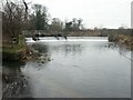
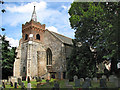
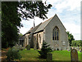
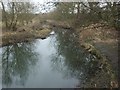
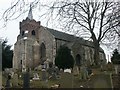
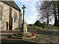
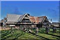

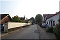
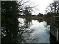
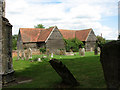
24 photos from this area
Area Information
Key information about the NR8 5DG including its size, population, and administrative classification.
- Area Type
- Postcode
- Area Size
- 60.3 hectares
- Population
- 1628
- Population Density
- 449 people/km²
House Prices in NR8 5DG
18
Properties
£282,125
Average Sold Price
£19,000
Lowest Price
£765,000
Highest Price
Showing 18 properties
| Address | Type | Beds | Baths | Last Sale Price | Last Sale Date | |
|---|---|---|---|---|---|---|
| 146 The Street, Costessey, NR8 5DG | Detached | 7 | 5 | £765,000 | Dec 2025 | |
| 148 The Street, Costessey, NR8 5DG | Bungalow | 3 | - | £321,500 | Jun 2021 | |
| 144 The Street, Costessey, NR8 5DG | Detached | 4 | 2 | £276,500 | Jul 2019 | |
| Mill House, The Street, Costessey, NR8 5DG | Detached | 3 | 1 | £19,000 | Feb 2019 | |
| 156 The Street, Costessey, NR8 5DG | Bungalow | - | - | £245,000 | Aug 2018 | |
| 142 The Street, Costessey, NR8 5DG | Cottage | 3 | 1 | £250,000 | Mar 2018 | |
| 154 The Street, Costessey, NR8 5DG | Bungalow | 4 | - | £250,000 | Aug 2014 | |
| 138 The Street, Costessey, NR8 5DG | Detached | 4 | - | £130,000 | Sep 1997 | |
| Broken Bridges, The Street, Costessey, NR8 5DG | Detached | 2 | - | - | - | |
| Costessey House, The Street, Costessey, NR8 5DG | Terraced | 4 | - | - | - |
Page 1 of 2
Energy Efficiency in NR8 5DG
Amenities
Schools
| Rank | School | Type | Entry gender | Ages |
|---|
Explore more schools in this area
Go to Schools tabDemographics
Household Size
Two person
most common
Accommodation Type
Houses
most common
Tenure
75
majority
Ethnic Group
White
most common
Religion
N/A
most common
Household Composition
N/A
most common
Age
47
median
Adults (30-64 years)
most common
Household Deprivation
N/A
with no deprivation
NS-SEC
36
in Lower managerial occupations
Explore more demographic insights in this area
Go to Demographics tabPlanning
Planning Constraints
- Flood RiskPremium
- Ramsar Wetland SitesPremium
- Area of Outstanding Natural BeautyPremium
- Protected Nature ReservePremium
- Protected WoodlandPremium