Area Overview for NR7 0ZG
Photos of NR7 0ZG
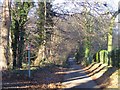
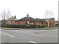
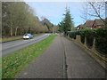
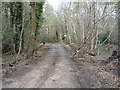
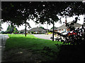
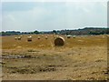
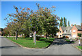
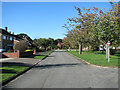
16 photos from this area
Area Information
Key information about the NR7 0ZG including its size, population, and administrative classification.
- Area Type
- Postcode
- Area Size
- 4.7 hectares
- Population
- 2004
- Population Density
- 1783 people/km²
House Prices in NR7 0ZG
16
Properties
£283,447
Average Sold Price
£174,950
Lowest Price
£420,000
Highest Price
Showing 16 properties
| Address | Type | Beds | Baths | Last Sale Price | Last Sale Date | |
|---|---|---|---|---|---|---|
| 1 Joyce Way, Thorpe St Andrew, NR7 0ZG | house | - | - | £322,500 | Mar 2021 | |
| 8 Joyce Way, Thorpe St Andrew, NR7 0ZG | house | - | - | £420,000 | Oct 2020 | |
| 11 Joyce Way, Thorpe St Andrew, NR7 0ZG | Detached | 5 | 3 | £380,000 | Jul 2018 | |
| 12 Joyce Way, Thorpe St Andrew, NR7 0ZG | Detached | 5 | 3 | £315,000 | Jul 2016 | |
| 18 Joyce Way, Thorpe St Andrew, NR7 0ZG | Detached | 5 | - | £340,000 | Jan 2016 | |
| 15 Joyce Way, Thorpe St Andrew, NR7 0ZG | house | 5 | - | £297,500 | Nov 2012 | |
| 3 Joyce Way, Thorpe St Andrew, NR7 0ZG | house | - | - | £280,000 | Oct 2012 | |
| 14 Joyce Way, Thorpe St Andrew, NR7 0ZG | house | - | - | £286,000 | Feb 2011 | |
| 6 Joyce Way, Thorpe St Andrew, NR7 0ZG | Detached | 6 | 4 | £290,000 | Aug 2007 | |
| 7 Joyce Way, Thorpe St Andrew, NR7 0ZG | house | - | - | £288,000 | May 2007 |
Page 1 of 2
Energy Efficiency in NR7 0ZG
Amenities
Schools
| Rank | School | Type | Entry gender | Ages |
|---|
Explore more schools in this area
Go to Schools tabDemographics
Household Size
Family (3-5 people)
most common
Accommodation Type
Houses
most common
Tenure
74
majority
Ethnic Group
White
most common
Religion
N/A
most common
Household Composition
N/A
most common
Age
47
median
Adults (30-64 years)
most common
Household Deprivation
N/A
with no deprivation
NS-SEC
40
in Lower managerial occupations
Explore more demographic insights in this area
Go to Demographics tabPlanning
Planning Constraints
- Flood RiskPremium
- Ramsar Wetland SitesPremium
- Area of Outstanding Natural BeautyPremium
- Protected Nature ReservePremium
- Protected WoodlandPremium