Area Overview for NR6 7LJ
Photos of NR6 7LJ
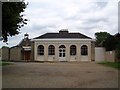
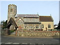
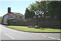
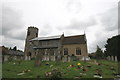
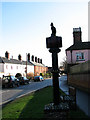
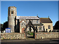
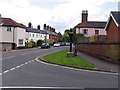
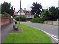
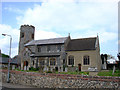
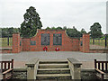
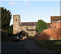
40 photos from this area
Area Information
Key information about the NR6 7LJ including its size, population, and administrative classification.
- Area Type
- Postcode
- Area Size
- 2.5 hectares
- Population
- 1743
- Population Density
- 2811 people/km²
House Prices in NR6 7LJ
60
Properties
£171,184
Average Sold Price
£34,000
Lowest Price
£425,000
Highest Price
Showing 60 properties
| Address | Type | Beds | Baths | Last Sale Price | Last Sale Date | |
|---|---|---|---|---|---|---|
| 54 Priors Drive, Old Catton, NR6 7LJ | Flat | 1 | 1 | £148,000 | Sep 2025 | |
| 22 Priors Drive, Old Catton, NR6 7LJ | Detached | 3 | 1 | £247,000 | Jan 2025 | |
| 3 Priors Drive, Old Catton, NR6 7LJ | Detached | 4 | 2 | £425,000 | Sep 2024 | |
| 47 Priors Drive, Old Catton, NR6 7LJ | Semi-detached | 2 | 1 | £220,000 | Nov 2023 | |
| 68 Priors Drive, Old Catton, NR6 7LJ | Terraced | 2 | 1 | £210,000 | Apr 2023 | |
| 48 Priors Drive, Old Catton, NR6 7LJ | Terraced | 2 | 1 | £215,000 | Mar 2023 | |
| 40 Priors Drive, Old Catton, NR6 7LJ | Flat | 1 | 1 | £130,000 | Oct 2022 | |
| 18 Priors Drive, Old Catton, NR6 7LJ | Retail | 3 | 1 | £300,000 | Apr 2022 | |
| 46 Priors Drive, Old Catton, NR6 7LJ | Terraced | 2 | - | £178,000 | Jun 2021 | |
| 32 Priors Drive, Old Catton, NR6 7LJ | Semi-detached | 3 | 1 | £161,250 | Apr 2021 |
Page 1 of 6
Energy Efficiency in NR6 7LJ
Amenities
Schools
| Rank | School | Type | Entry gender | Ages |
|---|
Explore more schools in this area
Go to Schools tabDemographics
Household Size
Two person
most common
Accommodation Type
Houses
most common
Tenure
81
majority
Ethnic Group
White
most common
Religion
N/A
most common
Household Composition
N/A
most common
Age
47
median
Adults (30-64 years)
most common
Household Deprivation
N/A
with no deprivation
NS-SEC
33
in Lower managerial occupations
Explore more demographic insights in this area
Go to Demographics tabPlanning
Planning Constraints
- Flood RiskPremium
- Ramsar Wetland SitesPremium
- Area of Outstanding Natural BeautyPremium
- Protected Nature ReservePremium
- Protected WoodlandPremium