Area Overview for NR6 6UE
Photos of NR6 6UE
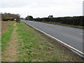
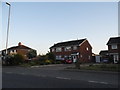
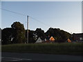
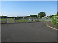
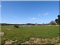
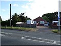
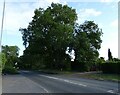

22 photos from this area
Area Information
Key information about the NR6 6UE including its size, population, and administrative classification.
- Area Type
- Postcode
- Area Size
- 8550 m²
- Population
- 1334
- Population Density
- 4316 people/km²
House Prices in NR6 6UE
17
Properties
£207,571
Average Sold Price
£100,000
Lowest Price
£302,000
Highest Price
Showing 17 properties
| Address | Type | Beds | Baths | Last Sale Price | Last Sale Date | |
|---|---|---|---|---|---|---|
| 41 Bush Road, Hellesdon, NR6 6UE | Bungalow | - | - | £285,000 | Jan 2025 | |
| 80 Bush Road, Hellesdon, NR6 6UE | Semi-detached | 3 | 1 | £302,000 | Aug 2022 | |
| 45 Bush Road, Hellesdon, NR6 6UE | Detached | 3 | 1 | £100,000 | Nov 2017 | |
| 47 Bush Road, Hellesdon, NR6 6UE | Semi-detached | 3 | 1 | £230,000 | Nov 2016 | |
| 78 Bush Road, Hellesdon, NR6 6UE | Semi-detached | 3 | - | £177,000 | Dec 2013 | |
| 66 Bush Road, Hellesdon, NR6 6UE | Semi-detached | 3 | - | £197,000 | Sep 2013 | |
| 74 Bush Road, Hellesdon, NR6 6UE | Semi-detached | - | - | £162,000 | Oct 2009 | |
| 43 Bush Road, Hellesdon, NR6 6UE | Semi-detached | 2 | 1 | - | - | |
| 68 Bush Road, Hellesdon, NR6 6UE | Semi-detached | 3 | 1 | - | - | |
| 58 Bush Road, Hellesdon, NR6 6UE | Terraced | - | - | - | - |
Page 1 of 2
Energy Efficiency in NR6 6UE
Amenities
Schools
| Rank | School | Type | Entry gender | Ages |
|---|
Explore more schools in this area
Go to Schools tabDemographics
Household Size
Two person
most common
Accommodation Type
Houses
most common
Tenure
77
majority
Ethnic Group
White
most common
Religion
N/A
most common
Household Composition
N/A
most common
Age
47
median
Adults (30-64 years)
most common
Household Deprivation
N/A
with no deprivation
NS-SEC
26
in Lower managerial occupations
Explore more demographic insights in this area
Go to Demographics tabPlanning
Planning Constraints
- Flood RiskPremium
- Ramsar Wetland SitesPremium
- Area of Outstanding Natural BeautyPremium
- Protected Nature ReservePremium
- Protected WoodlandPremium