Area Overview for NR5 8NQ
Photos of NR5 8NQ
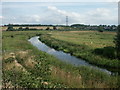
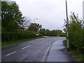
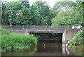
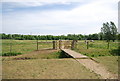
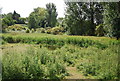
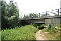
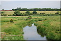
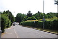
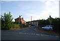
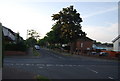
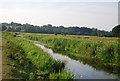
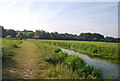
100 photos from this area
Area Information
Key information about the NR5 8NQ including its size, population, and administrative classification.
- Area Type
- Postcode
- Area Size
- 1.1 hectares
- Population
- 2079
- Population Density
- 2821 people/km²
House Prices in NR5 8NQ
57
Properties
£114,253
Average Sold Price
£42,280
Lowest Price
£160,000
Highest Price
Showing 57 properties
| Address | Type | Beds | Baths | Last Sale Price | Last Sale Date | |
|---|---|---|---|---|---|---|
| 155 Wilberforce Road, Norwich, NR5 8NQ | Flat | - | - | £143,000 | Jul 2025 | |
| 163 Wilberforce Road, Norwich, NR5 8NQ | Flat | - | - | £143,000 | Jun 2025 | |
| 125 Wilberforce Road, Norwich, NR5 8NQ | Flat | 2 | 1 | £160,000 | Oct 2024 | |
| 64 Wilberforce Road, Norwich, NR5 8NQ | Flat | 3 | 1 | £145,500 | Jun 2022 | |
| 151 Wilberforce Road, Norwich, NR5 8NQ | Flat | 2 | 1 | £138,000 | Oct 2021 | |
| 58 Wilberforce Road, Norwich, NR5 8NQ | Flat | - | - | £136,500 | Apr 2017 | |
| 93 Wilberforce Road, Norwich, NR5 8NQ | Flat | - | - | £130,000 | Oct 2015 | |
| 153 Wilberforce Road, Norwich, NR5 8NQ | Flat | - | - | £100,000 | Apr 2015 | |
| 157 Wilberforce Road, Norwich, NR5 8NQ | Flat | - | - | £42,280 | Mar 2004 | |
| 161 Wilberforce Road, Norwich, NR5 8NQ | Flat | - | - | £75,500 | Dec 2002 |
Page 1 of 6
Energy Efficiency in NR5 8NQ
Amenities
Schools
| Rank | School | Type | Entry gender | Ages |
|---|
Explore more schools in this area
Go to Schools tabDemographics
Household Size
Family (3-5 people)
most common
Accommodation Type
Houses
most common
Tenure
23
majority
Ethnic Group
White
most common
Religion
N/A
most common
Household Composition
N/A
most common
Age
47
median
Adults (30-64 years)
most common
Household Deprivation
N/A
with no deprivation
NS-SEC
18
in Lower managerial occupations
Explore more demographic insights in this area
Go to Demographics tabPlanning
Planning Constraints
- Flood RiskPremium
- Ramsar Wetland SitesPremium
- Area of Outstanding Natural BeautyPremium
- Protected Nature ReservePremium
- Protected WoodlandPremium