Area Overview for NR5 0BH
Photos of NR5 0BH
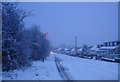
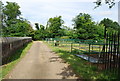
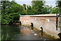
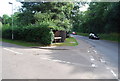
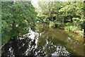
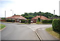
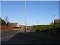
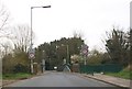
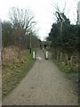

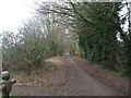
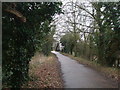
61 photos from this area
Area Information
Key information about the NR5 0BH including its size, population, and administrative classification.
- Area Type
- Postcode
- Area Size
- 1.1 hectares
- Population
- 1642
- Population Density
- 2547 people/km²
House Prices in NR5 0BH
17
Properties
£155,033
Average Sold Price
£31,264
Lowest Price
£270,000
Highest Price
Showing 17 properties
| Address | Type | Beds | Baths | Last Sale Price | Last Sale Date | |
|---|---|---|---|---|---|---|
| 14 Valley Road, Costessey, NR5 0BH | Bungalow | 3 | 1 | £242,000 | May 2023 | |
| 2 Valley Road, Costessey, NR5 0BH | Retail | 2 | 1 | £260,000 | Oct 2022 | |
| 16 Valley Road, Costessey, NR5 0BH | Chalet | 3 | 1 | £270,000 | Nov 2017 | |
| 11 Valley Road, Costessey, NR5 0BH | Bungalow | 3 | - | £160,000 | Nov 2013 | |
| 6 Valley Road, Costessey, NR5 0BH | Bungalow | 3 | - | £159,000 | Jun 2010 | |
| 8 Valley Road, Costessey, NR5 0BH | Detached | - | - | £31,264 | Nov 2001 | |
| 2A Valley Road, Costessey, NR5 0BH | Detached | - | - | £80,000 | Apr 2001 | |
| 3 Valley Road, Costessey, NR5 0BH | house | - | - | £38,000 | Oct 1997 | |
| 5 Valley Road, Costessey, NR5 0BH | Detached | 3 | 2 | - | - | |
| 9 Valley Road, Costessey, NR5 0BH | Semi-detached | - | - | - | - |
Page 1 of 2
Energy Efficiency in NR5 0BH
Amenities
Schools
| Rank | School | Type | Entry gender | Ages |
|---|
Explore more schools in this area
Go to Schools tabDemographics
Household Size
Two person
most common
Accommodation Type
Houses
most common
Tenure
86
majority
Ethnic Group
White
most common
Religion
N/A
most common
Household Composition
N/A
most common
Age
47
median
Adults (30-64 years)
most common
Household Deprivation
N/A
with no deprivation
NS-SEC
27
in Lower managerial occupations
Explore more demographic insights in this area
Go to Demographics tabPlanning
Planning Constraints
- Flood RiskPremium
- Ramsar Wetland SitesPremium
- Area of Outstanding Natural BeautyPremium
- Protected Nature ReservePremium
- Protected WoodlandPremium