Area Overview for NR4 7WG
Photos of NR4 7WG
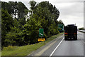
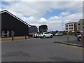
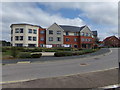
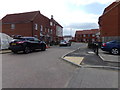
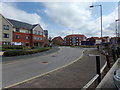
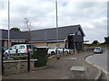
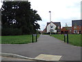
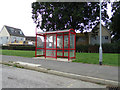
59 photos from this area
Area Information
Key information about the NR4 7WG including its size, population, and administrative classification.
- Area Type
- Postcode
- Area Size
- 1.4 hectares
- Population
- 2194
- Population Density
- 178 people/km²
House Prices in NR4 7WG
25
Properties
£477,147
Average Sold Price
£353,995
Lowest Price
£557,995
Highest Price
Showing 25 properties
| Address | Type | Beds | Baths | Last Sale Price | Last Sale Date | |
|---|---|---|---|---|---|---|
| 9 Davies Drive, Cringleford, NR4 7WG | Detached | 4 | 2 | £537,500 | Mar 2025 | |
| 1 Davies Drive, Cringleford, NR4 7WG | house | - | - | £443,995 | Dec 2022 | |
| 2 Davies Drive, Cringleford, NR4 7WG | house | - | - | £414,995 | Oct 2022 | |
| 7 Davies Drive, Cringleford, NR4 7WG | Detached | 4 | 2 | £499,995 | Aug 2022 | |
| 3 Davies Drive, Cringleford, NR4 7WG | house | - | - | £499,995 | Aug 2022 | |
| 5 Davies Drive, Cringleford, NR4 7WG | house | - | - | £536,995 | Jul 2022 | |
| 4 Davies Drive, Cringleford, NR4 7WG | house | - | - | £399,995 | Jun 2022 | |
| 6 Davies Drive, Cringleford, NR4 7WG | house | - | - | £534,995 | Jun 2022 | |
| 11 Davies Drive, Cringleford, NR4 7WG | house | - | - | £494,995 | Jun 2022 | |
| 13 Davies Drive, Cringleford, NR4 7WG | house | - | - | £534,995 | Jun 2022 |
Page 1 of 3
Energy Efficiency in NR4 7WG
Amenities
Schools
| Rank | School | Type | Entry gender | Ages |
|---|
Explore more schools in this area
Go to Schools tabDemographics
Household Size
Two person
most common
Accommodation Type
Houses
most common
Tenure
76
majority
Ethnic Group
White
most common
Religion
N/A
most common
Household Composition
N/A
most common
Age
47
median
Adults (30-64 years)
most common
Household Deprivation
N/A
with no deprivation
NS-SEC
47
in Lower managerial occupations
Explore more demographic insights in this area
Go to Demographics tabPlanning
Planning Constraints
- Flood RiskPremium
- Ramsar Wetland SitesPremium
- Area of Outstanding Natural BeautyPremium
- Protected Nature ReservePremium
- Protected WoodlandPremium