Area Overview for NR4 7QG
Photos of NR4 7QG

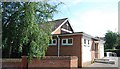
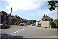
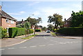
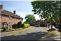
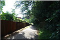
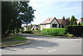
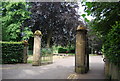
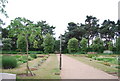
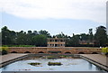
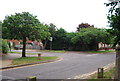
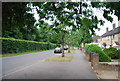
100 photos from this area
Area Information
Key information about the NR4 7QG including its size, population, and administrative classification.
- Area Type
- Postcode
- Area Size
- 2.9 hectares
- Population
- 1500
- Population Density
- 3279 people/km²
House Prices in NR4 7QG
30
Properties
£568,888
Average Sold Price
£115,100
Lowest Price
£1,065,000
Highest Price
Showing 30 properties
| Address | Type | Beds | Baths | Last Sale Price | Last Sale Date | |
|---|---|---|---|---|---|---|
| 387 Unthank Road, Norwich, NR4 7QG | Detached | 5 | 2 | £860,000 | Aug 2024 | |
| 335 Unthank Road, Norwich, NR4 7QG | Semi-detached | 5 | 3 | £1,065,000 | Apr 2024 | |
| 381 Unthank Road, Norwich, NR4 7QG | Detached | 5 | 2 | £985,000 | Feb 2023 | |
| 365 Unthank Road, Norwich, NR4 7QG | Detached | 5 | - | £930,000 | Dec 2019 | |
| 337 Unthank Road, Norwich, NR4 7QG | house | - | - | £675,000 | Aug 2019 | |
| The Lodge, 405 Unthank Road, Norwich, NR4 7QG | Bungalow | 3 | 2 | £430,000 | Jul 2017 | |
| 345 Unthank Road, Norwich, NR4 7QG | house | - | - | £575,000 | Nov 2015 | |
| 375 Unthank Road, Norwich, NR4 7QG | house | 5 | - | £670,000 | May 2015 | |
| 363 Unthank Road, Norwich, NR4 7QG | Detached | 5 | 2 | £695,000 | Aug 2012 | |
| 397 Unthank Road, Norwich, NR4 7QG | house | 5 | - | £585,000 | Jul 2011 |
Page 1 of 3
Energy Efficiency in NR4 7QG
Amenities
Schools
| Rank | School | Type | Entry gender | Ages |
|---|
Explore more schools in this area
Go to Schools tabDemographics
Household Size
Two person
most common
Accommodation Type
Houses
most common
Tenure
76
majority
Ethnic Group
White
most common
Religion
N/A
most common
Household Composition
N/A
most common
Age
47
median
Adults (30-64 years)
most common
Household Deprivation
N/A
with no deprivation
NS-SEC
54
in Lower managerial occupations
Explore more demographic insights in this area
Go to Demographics tabPlanning
Planning Constraints
- Flood RiskPremium
- Ramsar Wetland SitesPremium
- Area of Outstanding Natural BeautyPremium
- Protected Nature ReservePremium
- Protected WoodlandPremium