Area Overview for NR34 8RL
Photos of NR34 8RL
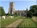
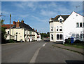
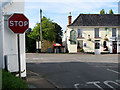
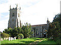
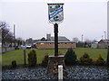
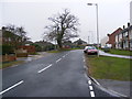
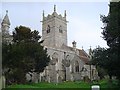
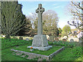

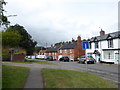
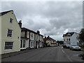
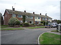
65 photos from this area
Area Information
Key information about the NR34 8RL including its size, population, and administrative classification.
- Area Type
- Postcode
- Area Size
- 2.4 hectares
- Population
- 2147
- Population Density
- 52 people/km²
House Prices in NR34 8RL
46
Properties
£187,567
Average Sold Price
£31,000
Lowest Price
£417,000
Highest Price
Showing 46 properties
| Address | Type | Beds | Baths | Last Sale Price | Last Sale Date | |
|---|---|---|---|---|---|---|
| 41 High Street, Wangford, NR34 8RL | Semi-detached | 3 | 2 | £417,000 | Oct 2024 | |
| The Stables, 13A High Street, Wangford, NR34 8RL | Bungalow | - | - | £192,998 | Aug 2022 | |
| 67 High Street, Wangford, NR34 8RL | Terraced | 2 | - | £179,950 | Mar 2021 | |
| 13 High Street, Wangford, NR34 8RL | Terraced | 3 | 2 | £260,000 | Feb 2021 | |
| 69 High Street, Wangford, NR34 8RL | Terraced | 2 | 1 | £166,500 | Jan 2021 | |
| 73 High Street, Wangford, NR34 8RL | Terraced | 3 | 2 | £182,500 | Jan 2021 | |
| 25 High Street, Wangford, NR34 8RL | Terraced | 3 | 1 | £290,000 | Nov 2020 | |
| 7 High Street, Wangford, NR34 8RL | Bungalow | 1 | - | £215,000 | Oct 2020 | |
| 27 High Street, Wangford, NR34 8RL | Cottage | 4 | 1 | £360,000 | Aug 2020 | |
| 59 High Street, Wangford, NR34 8RL | Terraced | 3 | 1 | £165,000 | Aug 2019 |
Page 1 of 5
Energy Efficiency in NR34 8RL
Amenities
Schools
| Rank | School | Type | Entry gender | Ages |
|---|
Explore more schools in this area
Go to Schools tabDemographics
Household Size
Two person
most common
Accommodation Type
Houses
most common
Tenure
74
majority
Ethnic Group
White
most common
Religion
N/A
most common
Household Composition
N/A
most common
Age
47
median
Adults (30-64 years)
most common
Household Deprivation
N/A
with no deprivation
NS-SEC
31
in Lower managerial occupations
Explore more demographic insights in this area
Go to Demographics tabPlanning
Planning Constraints
- Flood RiskPremium
- Ramsar Wetland SitesPremium
- Area of Outstanding Natural BeautyPremium
- Protected Nature ReservePremium
- Protected WoodlandPremium