Area Overview for NR33 9RQ
Photos of NR33 9RQ

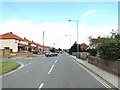
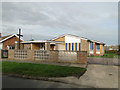
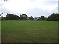
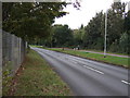
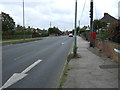
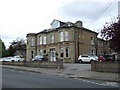
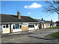
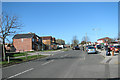
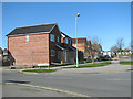
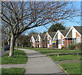
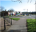
23 photos from this area
Area Information
Key information about the NR33 9RQ including its size, population, and administrative classification.
- Area Type
- Postcode
- Area Size
- 1.1 hectares
- Population
- 1416
- Population Density
- 3083 people/km²
House Prices in NR33 9RQ
20
Properties
£163,595
Average Sold Price
£47,950
Lowest Price
£285,000
Highest Price
Showing 20 properties
| Address | Type | Beds | Baths | Last Sale Price | Last Sale Date | |
|---|---|---|---|---|---|---|
| 10 Boon Drive, Lowestoft, NR33 9RQ | Detached | 3 | 1 | £285,000 | Apr 2024 | |
| 1 Boon Drive, Lowestoft, NR33 9RQ | Bungalow | 3 | 1 | £255,000 | Sep 2018 | |
| 2 Boon Drive, Lowestoft, NR33 9RQ | Bungalow | - | - | £190,000 | Nov 2014 | |
| 14 Boon Drive, Lowestoft, NR33 9RQ | house | - | - | £185,000 | May 2014 | |
| 17 Boon Drive, Lowestoft, NR33 9RQ | house | - | - | £157,000 | Jan 2013 | |
| 3 Boon Drive, Lowestoft, NR33 9RQ | Detached | - | - | £165,000 | Mar 2010 | |
| 4 Boon Drive, Lowestoft, NR33 9RQ | Detached | 3 | 1 | £182,000 | Jul 2009 | |
| 8 Boon Drive, Lowestoft, NR33 9RQ | Detached | - | - | £77,000 | Mar 2001 | |
| 9 Boon Drive, Lowestoft, NR33 9RQ | Detached | - | - | £91,995 | May 2000 | |
| 20 Boon Drive, Lowestoft, NR33 9RQ | Bungalow | 4 | - | £47,950 | Mar 1997 |
Page 1 of 2
Energy Efficiency in NR33 9RQ
Amenities
Schools
| Rank | School | Type | Entry gender | Ages |
|---|
Explore more schools in this area
Go to Schools tabDemographics
Household Size
Two person
most common
Accommodation Type
Houses
most common
Tenure
92
majority
Ethnic Group
White
most common
Religion
N/A
most common
Household Composition
N/A
most common
Age
47
median
Adults (30-64 years)
most common
Household Deprivation
N/A
with no deprivation
NS-SEC
26
in Lower managerial occupations
Explore more demographic insights in this area
Go to Demographics tabPlanning
Planning Constraints
- Flood RiskPremium
- Ramsar Wetland SitesPremium
- Area of Outstanding Natural BeautyPremium
- Protected Nature ReservePremium
- Protected WoodlandPremium