Area Overview for NR33 9QT
Photos of NR33 9QT
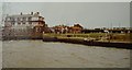
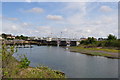
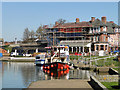
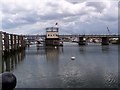
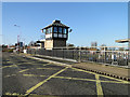
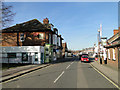
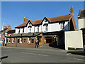
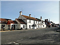
100 photos from this area
Area Information
Key information about the NR33 9QT including its size, population, and administrative classification.
- Area Type
- Postcode
- Area Size
- 2.0 hectares
- Population
- 1455
- Population Density
- 3718 people/km²
House Prices in NR33 9QT
41
Properties
£179,857
Average Sold Price
£45,000
Lowest Price
£367,000
Highest Price
Showing 41 properties
| Address | Type | Beds | Baths | Last Sale Price | Last Sale Date | |
|---|---|---|---|---|---|---|
| 38 Colville Road, Lowestoft, NR33 9QT | Detached | 4 | 3 | £367,000 | Nov 2024 | |
| 14 Colville Road, Lowestoft, NR33 9QT | Semi-detached | 3 | 1 | £240,000 | Jan 2024 | |
| 30 Colville Road, Lowestoft, NR33 9QT | Semi-detached | 2 | 1 | £210,000 | Jul 2023 | |
| 26 Colville Road, Lowestoft, NR33 9QT | house | - | - | £337,000 | Jan 2023 | |
| 68 Colville Road, Lowestoft, NR33 9QT | Detached | 5 | 4 | £232,785 | Aug 2021 | |
| Former 68, Colville Road, Lowestoft, NR33 9QT | Detached | - | - | £232,785 | Aug 2021 | |
| 10 Colville Road, Lowestoft, NR33 9QT | Semi-detached | 3 | 1 | £185,000 | Jul 2021 | |
| Corner Patch, Colville Road, Lowestoft, NR33 9QT | Semi-detached | 3 | 1 | £162,750 | Sep 2020 | |
| Glenholme, Colville Road, Lowestoft, NR33 9QT | Semi-detached | 3 | 1 | £157,500 | Nov 2019 | |
| 82 Colville Road, Lowestoft, NR33 9QT | Detached | 4 | 2 | £240,000 | May 2019 |
Page 1 of 5
Energy Efficiency in NR33 9QT
Amenities
Schools
| Rank | School | Type | Entry gender | Ages |
|---|
Explore more schools in this area
Go to Schools tabDemographics
Household Size
One person
most common
Accommodation Type
Houses
most common
Tenure
84
majority
Ethnic Group
White
most common
Religion
N/A
most common
Household Composition
N/A
most common
Age
47
median
Adults (30-64 years)
most common
Household Deprivation
N/A
with no deprivation
NS-SEC
26
in Lower managerial occupations
Explore more demographic insights in this area
Go to Demographics tabPlanning
Planning Constraints
- Flood RiskPremium
- Ramsar Wetland SitesPremium
- Area of Outstanding Natural BeautyPremium
- Protected Nature ReservePremium
- Protected WoodlandPremium