Area Overview for NR33 9LW
Photos of NR33 9LW

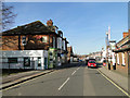
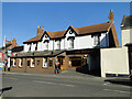
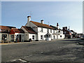
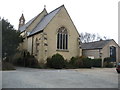
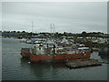
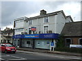
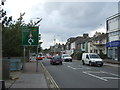
100 photos from this area
Area Information
Key information about the NR33 9LW including its size, population, and administrative classification.
- Area Type
- Postcode
- Area Size
- 1.4 hectares
- Population
- 1505
- Population Density
- 110112 people/km²
House Prices in NR33 9LW
41
Properties
£127,869
Average Sold Price
£25,500
Lowest Price
£280,000
Highest Price
Showing 41 properties
| Address | Type | Beds | Baths | Last Sale Price | Last Sale Date | |
|---|---|---|---|---|---|---|
| 99 Victoria Road, Lowestoft, NR33 9LW | Semi-detached | 3 | 1 | £221,000 | Oct 2022 | |
| 45 Victoria Road, Lowestoft, NR33 9LW | house | - | - | £272,500 | Dec 2021 | |
| 41 Victoria Road, Lowestoft, NR33 9LW | Semi-detached | 3 | 2 | £280,000 | Mar 2021 | |
| 107 Victoria Road, Lowestoft, NR33 9LW | house | - | - | £122,000 | Dec 2020 | |
| 67 Victoria Road, Lowestoft, NR33 9LW | Terraced | 5 | 1 | £198,000 | Dec 2019 | |
| 39 Victoria Road, Lowestoft, NR33 9LW | house | - | - | £155,000 | Dec 2019 | |
| 59 Victoria Road, Lowestoft, NR33 9LW | Terraced | 3 | 1 | £137,500 | May 2019 | |
| 57 Victoria Road, Lowestoft, NR33 9LW | Terraced | 3 | 1 | £135,000 | Apr 2019 | |
| 47 Victoria Road, Lowestoft, NR33 9LW | house | - | - | £230,000 | May 2018 | |
| 49 Victoria Road, Lowestoft, NR33 9LW | Terraced | 3 | 1 | £112,000 | Apr 2018 |
Page 1 of 5
Energy Efficiency in NR33 9LW
Amenities
Schools
| Rank | School | Type | Entry gender | Ages |
|---|
Explore more schools in this area
Go to Schools tabDemographics
Household Size
N/A
most common
Accommodation Type
N/A
most common
Tenure
N/A
majority
Ethnic Group
N/A
most common
Religion
N/A
most common
Household Composition
N/A
most common
Age
N/A
median
N/A
most common
Household Deprivation
N/A
with no deprivation
NS-SEC
N/A
in Lower managerial occupations
Explore more demographic insights in this area
Go to Demographics tabPlanning
Planning Constraints
- Flood RiskPremium
- Ramsar Wetland SitesPremium
- Area of Outstanding Natural BeautyPremium
- Protected Nature ReservePremium
- Protected WoodlandPremium