Area Overview for NR33 8QG
Photos of NR33 8QG
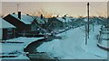
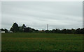
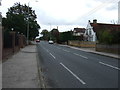
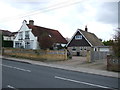
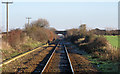
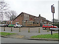
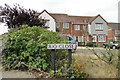
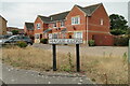
62 photos from this area
Area Information
Key information about the NR33 8QG including its size, population, and administrative classification.
- Area Type
- Postcode
- Area Size
- 2.2 hectares
- Population
- 1496
- Population Density
- 1542 people/km²
House Prices in NR33 8QG
26
Properties
£249,418
Average Sold Price
£119,995
Lowest Price
£530,000
Highest Price
Showing 26 properties
| Address | Type | Beds | Baths | Last Sale Price | Last Sale Date | |
|---|---|---|---|---|---|---|
| 19A Fairfield Drive, Lowestoft, NR33 8QG | Bungalow | 4 | 3 | £530,000 | Sep 2025 | |
| 5 Fairfield Drive, Lowestoft, NR33 8QG | Bungalow | 3 | 1 | £310,000 | Jul 2025 | |
| 14 Fairfield Drive, Lowestoft, NR33 8QG | Bungalow | 3 | 2 | £410,000 | Jan 2025 | |
| 7 Fairfield Drive, Lowestoft, NR33 8QG | Bungalow | 2 | 1 | £372,000 | Sep 2023 | |
| 8 Fairfield Drive, Lowestoft, NR33 8QG | Retail | 4 | 3 | £405,000 | Jun 2022 | |
| 9 Fairfield Drive, Lowestoft, NR33 8QG | Retail | 2 | 1 | £271,000 | Dec 2021 | |
| 13 Fairfield Drive, Lowestoft, NR33 8QG | Bungalow | - | - | £222,000 | Jun 2021 | |
| 10 Fairfield Drive, Lowestoft, NR33 8QG | Bungalow | 2 | 1 | £220,000 | Oct 2019 | |
| 16 Fairfield Drive, Lowestoft, NR33 8QG | Bungalow | 3 | - | £210,000 | Aug 2018 | |
| 4 Fairfield Drive, Lowestoft, NR33 8QG | Bungalow | 2 | - | £187,000 | Jun 2016 |
Page 1 of 3
Energy Efficiency in NR33 8QG
Amenities
Schools
| Rank | School | Type | Entry gender | Ages |
|---|
Explore more schools in this area
Go to Schools tabDemographics
Household Size
Two person
most common
Accommodation Type
Houses
most common
Tenure
84
majority
Ethnic Group
White
most common
Religion
N/A
most common
Household Composition
N/A
most common
Age
47
median
Adults (30-64 years)
most common
Household Deprivation
N/A
with no deprivation
NS-SEC
28
in Lower managerial occupations
Explore more demographic insights in this area
Go to Demographics tabPlanning
Planning Constraints
- Flood RiskPremium
- Ramsar Wetland SitesPremium
- Area of Outstanding Natural BeautyPremium
- Protected Nature ReservePremium
- Protected WoodlandPremium