Area Overview for NR33 8NE
Photos of NR33 8NE
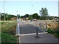
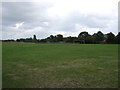
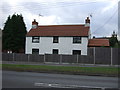
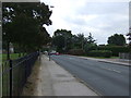
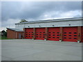
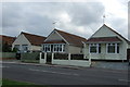
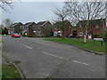
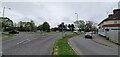
43 photos from this area
Area Information
Key information about the NR33 8NE including its size, population, and administrative classification.
- Area Type
- Postcode
- Area Size
- 1.3 hectares
- Population
- 1753
- Population Density
- 4036 people/km²
House Prices in NR33 8NE
30
Properties
£147,791
Average Sold Price
£38,000
Lowest Price
£275,000
Highest Price
Showing 30 properties
| Address | Type | Beds | Baths | Last Sale Price | Last Sale Date | |
|---|---|---|---|---|---|---|
| 30 Tudor Walk, Carlton Colville, NR33 8NE | Bungalow | 2 | 1 | £222,000 | Sep 2025 | |
| 22 Tudor Walk, Carlton Colville, NR33 8NE | Detached | 3 | 1 | £275,000 | Jun 2023 | |
| 25 Tudor Walk, Carlton Colville, NR33 8NE | Bungalow | 2 | - | £275,000 | Sep 2022 | |
| 1 Tudor Walk, Carlton Colville, NR33 8NE | Semi-detached | 2 | - | £235,000 | Sep 2022 | |
| 18 Tudor Walk, Carlton Colville, NR33 8NE | house | - | - | £228,000 | Mar 2019 | |
| 19 Tudor Walk, Carlton Colville, NR33 8NE | Detached | 3 | 1 | £210,000 | Jan 2019 | |
| 24 Tudor Walk, Carlton Colville, NR33 8NE | Bungalow | 2 | 1 | £200,000 | Jan 2019 | |
| 28 Tudor Walk, Carlton Colville, NR33 8NE | Bungalow | 2 | - | £134,995 | Apr 2014 | |
| 2 Tudor Walk, Carlton Colville, NR33 8NE | Bungalow | 2 | - | £123,500 | Sep 2013 | |
| 3 Tudor Walk, Carlton Colville, NR33 8NE | house | - | - | £138,000 | Mar 2012 |
Page 1 of 3
Energy Efficiency in NR33 8NE
Amenities
Schools
| Rank | School | Type | Entry gender | Ages |
|---|
Explore more schools in this area
Go to Schools tabDemographics
Household Size
Two person
most common
Accommodation Type
Houses
most common
Tenure
84
majority
Ethnic Group
White
most common
Religion
N/A
most common
Household Composition
N/A
most common
Age
47
median
Adults (30-64 years)
most common
Household Deprivation
N/A
with no deprivation
NS-SEC
30
in Lower managerial occupations
Explore more demographic insights in this area
Go to Demographics tabPlanning
Planning Constraints
- Flood RiskPremium
- Ramsar Wetland SitesPremium
- Area of Outstanding Natural BeautyPremium
- Protected Nature ReservePremium
- Protected WoodlandPremium