Area Overview for NR33 7TJ
Photos of NR33 7TJ
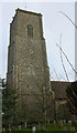
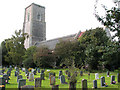
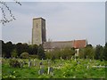
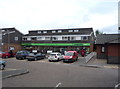
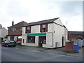
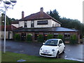
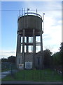
63 photos from this area
Area Information
Key information about the NR33 7TJ including its size, population, and administrative classification.
- Area Type
- Postcode
- Area Size
- 9576 m²
- Population
- 1704
- Population Density
- 278 people/km²
House Prices in NR33 7TJ
12
Properties
£310,944
Average Sold Price
£88,500
Lowest Price
£485,000
Highest Price
Showing 12 properties
| Address | Type | Beds | Baths | Last Sale Price | Last Sale Date | |
|---|---|---|---|---|---|---|
| 43 Church Road, Kessingland, NR33 7TJ | Semi-detached | 3 | 1 | £320,000 | Oct 2025 | |
| 35 Church Road, Kessingland, NR33 7TJ | house | 5 | 3 | £440,000 | Jun 2024 | |
| 41 Church Road, Kessingland, NR33 7TJ | Semi-detached | 3 | 2 | £290,000 | Apr 2023 | |
| 39 Church Road, Kessingland, NR33 7TJ | Detached | 4 | 3 | £485,000 | Jan 2020 | |
| 45 Church Road, Kessingland, NR33 7TJ | Detached | 4 | 1 | £265,000 | Dec 2016 | |
| 29 Church Road, Kessingland, NR33 7TJ | house | - | - | £285,000 | Nov 2014 | |
| 31 Church Road, Kessingland, NR33 7TJ | Semi-detached | 4 | 1 | £279,995 | Dec 2013 | |
| The Paddock, 33 Church Road, Kessingland, NR33 7TJ | Detached | 4 | 2 | £345,000 | May 2013 | |
| 43A Church Road, Kessingland, NR33 7TJ | Detached | - | - | £88,500 | Dec 2000 | |
| 51 Church Road, Kessingland, NR33 7TJ | Detached | 5 | - | - | - |
Page 1 of 2
Energy Efficiency in NR33 7TJ
Amenities
Schools
| Rank | School | Type | Entry gender | Ages |
|---|
Explore more schools in this area
Go to Schools tabDemographics
Household Size
Two person
most common
Accommodation Type
Houses
most common
Tenure
78
majority
Ethnic Group
White
most common
Religion
N/A
most common
Household Composition
N/A
most common
Age
47
median
Elderly (65+ years)
most common
Household Deprivation
N/A
with no deprivation
NS-SEC
26
in Lower managerial occupations
Explore more demographic insights in this area
Go to Demographics tabPlanning
Planning Constraints
- Flood RiskPremium
- Ramsar Wetland SitesPremium
- Area of Outstanding Natural BeautyPremium
- Protected Nature ReservePremium
- Protected WoodlandPremium