Area Overview for NR33 7SF
Photos of NR33 7SF
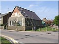
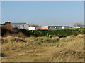
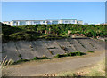
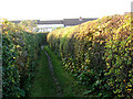
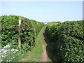
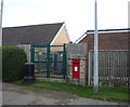
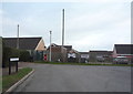
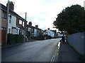
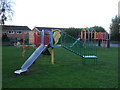
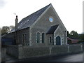
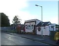
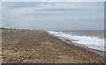
67 photos from this area
Area Information
Key information about the NR33 7SF including its size, population, and administrative classification.
- Area Type
- Postcode
- Area Size
- 8857 m²
- Population
- 1489
- Population Density
- 423 people/km²
House Prices in NR33 7SF
26
Properties
£136,938
Average Sold Price
£21,010
Lowest Price
£251,000
Highest Price
Showing 26 properties
| Address | Type | Beds | Baths | Last Sale Price | Last Sale Date | |
|---|---|---|---|---|---|---|
| 211 Church Road, Kessingland, NR33 7SF | house | 3 | 1 | £180,000 | Jan 2025 | |
| 221 Church Road, Kessingland, NR33 7SF | Terraced | 2 | 1 | £152,000 | Dec 2023 | |
| 209 Church Road, Kessingland, NR33 7SF | house | 3 | 1 | £193,000 | May 2023 | |
| 201 Church Road, Kessingland, NR33 7SF | Terraced | 2 | 1 | £251,000 | Nov 2022 | |
| 205 Church Road, Kessingland, NR33 7SF | Terraced | 3 | 1 | £159,200 | Jul 2021 | |
| 207 Church Road, Kessingland, NR33 7SF | Terraced | 3 | 1 | £165,000 | Dec 2020 | |
| 213 Church Road, Kessingland, NR33 7SF | Terraced | 3 | 1 | £110,000 | Sep 2019 | |
| 219 Church Road, Kessingland, NR33 7SF | Terraced | 2 | 1 | £180,000 | Aug 2019 | |
| 231 Church Road, Kessingland, NR33 7SF | house | 3 | 1 | £177,000 | May 2018 | |
| 203 Church Road, Kessingland, NR33 7SF | Terraced | 3 | 1 | £90,000 | Jun 2005 |
Page 1 of 3
Energy Efficiency in NR33 7SF
Amenities
Schools
| Rank | School | Type | Entry gender | Ages |
|---|
Explore more schools in this area
Go to Schools tabDemographics
Household Size
Two person
most common
Accommodation Type
Houses
most common
Tenure
76
majority
Ethnic Group
White
most common
Religion
N/A
most common
Household Composition
N/A
most common
Age
47
median
Adults (30-64 years)
most common
Household Deprivation
N/A
with no deprivation
NS-SEC
26
in Lower managerial occupations
Explore more demographic insights in this area
Go to Demographics tabPlanning
Planning Constraints
- Flood RiskPremium
- Ramsar Wetland SitesPremium
- Area of Outstanding Natural BeautyPremium
- Protected Nature ReservePremium
- Protected WoodlandPremium