Area Overview for NR33 7QQ
Photos of NR33 7QQ
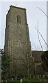
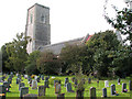
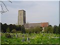
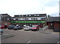
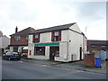
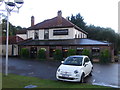
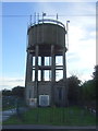
63 photos from this area
Area Information
Key information about the NR33 7QQ including its size, population, and administrative classification.
- Area Type
- Postcode
- Area Size
- 1.9 hectares
- Population
- 1704
- Population Density
- 278 people/km²
House Prices in NR33 7QQ
49
Properties
£183,250
Average Sold Price
£33,000
Lowest Price
£640,000
Highest Price
Showing 49 properties
| Address | Type | Beds | Baths | Last Sale Price | Last Sale Date | |
|---|---|---|---|---|---|---|
| 56 High Street, Kessingland, NR33 7QQ | Terraced | 2 | 1 | £210,000 | Mar 2025 | |
| Birchwood Lodge, 41B High Street, Kessingland, NR33 7QQ | Detached | 4 | 3 | £640,000 | Apr 2024 | |
| 32 High Street, Kessingland, NR33 7QQ | Terraced | 3 | 1 | £210,000 | Feb 2022 | |
| 44 High Street, Kessingland, NR33 7QQ | house | 3 | - | £156,000 | Aug 2021 | |
| The Old Bakehouse, 61 High Street, Kessingland, NR33 7QQ | house | - | - | £390,000 | Jun 2021 | |
| 39 High Street, Kessingland, NR33 7QQ | Flat | - | - | £68,000 | Mar 2021 | |
| 30 High Street, Kessingland, NR33 7QQ | house | 2 | - | £125,000 | Sep 2020 | |
| 34 High Street, Kessingland, NR33 7QQ | Terraced | 2 | 1 | £88,000 | Aug 2020 | |
| Lizpat Cottage, 51 High Street, Kessingland, NR33 7QQ | Semi-detached | 2 | 1 | £130,000 | Aug 2020 | |
| Ivy House, 37 High Street, Kessingland, NR33 7QQ | Detached | 5 | 2 | £445,000 | Jan 2020 |
Page 1 of 5
Energy Efficiency in NR33 7QQ
Amenities
Schools
| Rank | School | Type | Entry gender | Ages |
|---|
Explore more schools in this area
Go to Schools tabDemographics
Household Size
Two person
most common
Accommodation Type
Houses
most common
Tenure
78
majority
Ethnic Group
White
most common
Religion
N/A
most common
Household Composition
N/A
most common
Age
47
median
Elderly (65+ years)
most common
Household Deprivation
N/A
with no deprivation
NS-SEC
26
in Lower managerial occupations
Explore more demographic insights in this area
Go to Demographics tabPlanning
Planning Constraints
- Flood RiskPremium
- Ramsar Wetland SitesPremium
- Area of Outstanding Natural BeautyPremium
- Protected Nature ReservePremium
- Protected WoodlandPremium