Area Overview for NR33 7QH
Photos of NR33 7QH
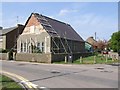
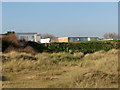
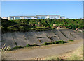
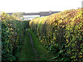
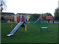
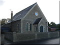
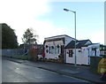
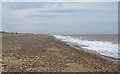
67 photos from this area
Area Information
Key information about the NR33 7QH including its size, population, and administrative classification.
- Area Type
- Postcode
- Area Size
- 1.3 hectares
- Population
- 1489
- Population Density
- 423 people/km²
House Prices in NR33 7QH
32
Properties
£144,542
Average Sold Price
£37,500
Lowest Price
£235,000
Highest Price
Showing 32 properties
| Address | Type | Beds | Baths | Last Sale Price | Last Sale Date | |
|---|---|---|---|---|---|---|
| 57 Peregrine Way, Kessingland, NR33 7QH | Detached | 2 | 1 | £217,500 | Sep 2025 | |
| 55 Peregrine Way, Kessingland, NR33 7QH | Semi-detached | 2 | 1 | £235,000 | Jun 2025 | |
| 23 Peregrine Way, Kessingland, NR33 7QH | Semi-detached | 2 | 1 | £228,000 | Dec 2023 | |
| 49 Peregrine Way, Kessingland, NR33 7QH | Semi-detached | 2 | 1 | £168,000 | Nov 2023 | |
| 27 Peregrine Way, Kessingland, NR33 7QH | Semi-detached | 2 | 1 | £170,000 | Oct 2022 | |
| 51 Peregrine Way, Kessingland, NR33 7QH | Semi-detached | 2 | 1 | £161,500 | Nov 2021 | |
| 20 Peregrine Way, Kessingland, NR33 7QH | Detached | 3 | 1 | £175,000 | Aug 2019 | |
| 53 Peregrine Way, Kessingland, NR33 7QH | house | 2 | - | £150,000 | Jul 2019 | |
| 7 Peregrine Way, Kessingland, NR33 7QH | Terraced | 3 | 1 | £160,000 | Jul 2019 | |
| 13 Peregrine Way, Kessingland, NR33 7QH | Semi-detached | 3 | 1 | £170,000 | Nov 2018 |
Page 1 of 4
Energy Efficiency in NR33 7QH
Amenities
Schools
| Rank | School | Type | Entry gender | Ages |
|---|
Explore more schools in this area
Go to Schools tabDemographics
Household Size
Two person
most common
Accommodation Type
Houses
most common
Tenure
76
majority
Ethnic Group
White
most common
Religion
N/A
most common
Household Composition
N/A
most common
Age
47
median
Adults (30-64 years)
most common
Household Deprivation
N/A
with no deprivation
NS-SEC
26
in Lower managerial occupations
Explore more demographic insights in this area
Go to Demographics tabPlanning
Planning Constraints
- Flood RiskPremium
- Ramsar Wetland SitesPremium
- Area of Outstanding Natural BeautyPremium
- Protected Nature ReservePremium
- Protected WoodlandPremium