Area Overview for NR33 7PY
Photos of NR33 7PY
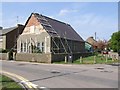
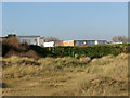
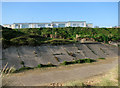
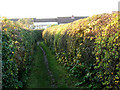
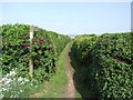
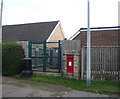
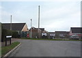
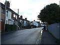
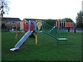
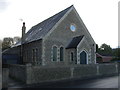
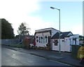
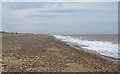
67 photos from this area
Area Information
Key information about the NR33 7PY including its size, population, and administrative classification.
- Area Type
- Postcode
- Area Size
- 1.1 hectares
- Population
- 1823
- Population Density
- 446 people/km²
House Prices in NR33 7PY
25
Properties
£111,493
Average Sold Price
£25,000
Lowest Price
£235,000
Highest Price
Showing 25 properties
| Address | Type | Beds | Baths | Last Sale Price | Last Sale Date | |
|---|---|---|---|---|---|---|
| 103 Field Lane, Kessingland, NR33 7PY | Terraced | 2 | 2 | £235,000 | Sep 2023 | |
| 86 Field Lane, Kessingland, NR33 7PY | Semi-detached | 2 | 1 | £129,000 | Nov 2018 | |
| 78 Field Lane, Kessingland, NR33 7PY | Terraced | 3 | 1 | £128,000 | Nov 2017 | |
| 88 Field Lane, Kessingland, NR33 7PY | Semi-detached | 2 | - | £138,000 | Mar 2016 | |
| 84 Field Lane, Kessingland, NR33 7PY | Terraced | 3 | - | £122,995 | Sep 2014 | |
| 89 Field Lane, Kessingland, NR33 7PY | Terraced | 3 | 1 | £105,000 | Jul 2014 | |
| 79 Field Lane, Kessingland, NR33 7PY | house | 3 | - | £120,000 | Mar 2014 | |
| 97 FIELD LANE, Kessingland, NR33 7PY | Detached | - | - | £99,950 | Mar 2012 | |
| 87 Field Lane, Kessingland, NR33 7PY | Terraced | 3 | 1 | £125,000 | Apr 2007 | |
| 105 Field Lane, Kessingland, NR33 7PY | Terraced | 2 | 1 | £95,000 | Feb 2006 |
Page 1 of 3
Energy Efficiency in NR33 7PY
Amenities
Schools
| Rank | School | Type | Entry gender | Ages |
|---|
Explore more schools in this area
Go to Schools tabDemographics
Household Size
Two person
most common
Accommodation Type
Houses
most common
Tenure
60
majority
Ethnic Group
White
most common
Religion
N/A
most common
Household Composition
N/A
most common
Age
47
median
Adults (30-64 years)
most common
Household Deprivation
N/A
with no deprivation
NS-SEC
21
in Lower managerial occupations
Explore more demographic insights in this area
Go to Demographics tabPlanning
Planning Constraints
- Flood RiskPremium
- Ramsar Wetland SitesPremium
- Area of Outstanding Natural BeautyPremium
- Protected Nature ReservePremium
- Protected WoodlandPremium