Area Overview for NR33 7AU
Photos of NR33 7AU
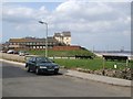
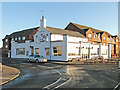
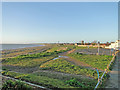
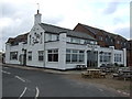
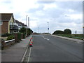
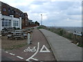
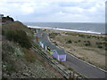
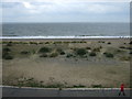
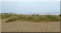
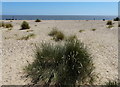
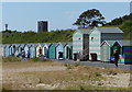
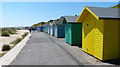
59 photos from this area
Area Information
Key information about the NR33 7AU including its size, population, and administrative classification.
- Area Type
- Postcode
- Area Size
- 6.6 hectares
- Population
- 1547
- Population Density
- 2276 people/km²
House Prices in NR33 7AU
25
Properties
£244,165
Average Sold Price
£51,995
Lowest Price
£535,000
Highest Price
Showing 25 properties
| Address | Type | Beds | Baths | Last Sale Price | Last Sale Date | |
|---|---|---|---|---|---|---|
| East Gables, 10A Nightingale Road, Lowestoft, NR33 7AU | Semi-detached | 4 | 2 | £535,000 | Aug 2025 | |
| Cliff Cottage, Nightingale Road, Lowestoft, NR33 7AU | Semi-detached | 2 | 1 | £275,000 | Dec 2024 | |
| 8 Nightingale Road, Lowestoft, NR33 7AU | Bungalow | 2 | 1 | £168,000 | Jul 2015 | |
| 9 Nightingale Road, Lowestoft, NR33 7AU | Bungalow | - | - | £219,995 | Jun 2008 | |
| 4 Nightingale Road, Lowestoft, NR33 7AU | Semi-detached | - | - | £215,000 | Jul 2006 | |
| Sunningdale, Nightingale Road, Lowestoft, NR33 7AU | Bungalow | - | - | £51,995 | Aug 1995 | |
| Dairy Cottage, 2 Nightingale Road, Lowestoft, NR33 7AU | Bungalow | 2 | 1 | - | - | |
| Flat 2, 10 Nightingale Road, Lowestoft, NR33 7AU | Flat | 2 | 1 | - | - | |
| Flat 2, East Gables, Nightingale Road, Lowestoft, NR33 7AU | undefined | - | - | - | - | |
| Flat 1, East Gables, Nightingale Road, Lowestoft, NR33 7AU | undefined | - | - | - | - |
Page 1 of 3
Energy Efficiency in NR33 7AU
Amenities
Schools
| Rank | School | Type | Entry gender | Ages |
|---|
Explore more schools in this area
Go to Schools tabDemographics
Household Size
Two person
most common
Accommodation Type
Houses
most common
Tenure
79
majority
Ethnic Group
White
most common
Religion
N/A
most common
Household Composition
N/A
most common
Age
47
median
Adults (30-64 years)
most common
Household Deprivation
N/A
with no deprivation
NS-SEC
28
in Lower managerial occupations
Explore more demographic insights in this area
Go to Demographics tabPlanning
Planning Constraints
- Flood RiskPremium
- Ramsar Wetland SitesPremium
- Area of Outstanding Natural BeautyPremium
- Protected Nature ReservePremium
- Protected WoodlandPremium