Area Overview for NR33 0RD
Photos of NR33 0RD
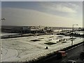
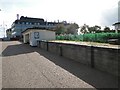
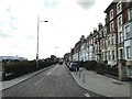
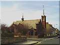
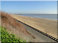
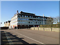
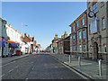
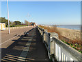
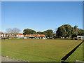
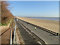
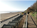
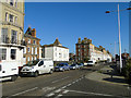
100 photos from this area
Area Information
Key information about the NR33 0RD including its size, population, and administrative classification.
- Area Type
- Postcode
- Area Size
- 3788 m²
- Population
- 1408
- Population Density
- 8539 people/km²
House Prices in NR33 0RD
22
Properties
£118,322
Average Sold Price
£20,000
Lowest Price
£203,000
Highest Price
Showing 22 properties
| Address | Type | Beds | Baths | Last Sale Price | Last Sale Date | |
|---|---|---|---|---|---|---|
| 27 Lorne Park Road, Lowestoft, NR33 0RD | Terraced | 4 | 1 | £203,000 | Nov 2023 | |
| 7 Lorne Park Road, Lowestoft, NR33 0RD | Terraced | 3 | 1 | £175,000 | Oct 2023 | |
| 30 Lorne Park Road, Lowestoft, NR33 0RD | Terraced | 4 | - | £160,000 | Sep 2021 | |
| 18 Lorne Park Road, Lowestoft, NR33 0RD | Terraced | 4 | 2 | £105,000 | Jun 2020 | |
| 12 Lorne Park Road, Lowestoft, NR33 0RD | house | - | - | £132,000 | Mar 2020 | |
| 28 Lorne Park Road, Lowestoft, NR33 0RD | Terraced | 4 | 1 | £145,500 | Nov 2018 | |
| 14 Lorne Park Road, Lowestoft, NR33 0RD | Terraced | 3 | 1 | £164,500 | Jul 2018 | |
| 23 Lorne Park Road, Lowestoft, NR33 0RD | house | - | - | £119,000 | Jul 2017 | |
| 15 Lorne Park Road, Lowestoft, NR33 0RD | Semi-detached | 3 | - | £190,000 | Apr 2017 | |
| 22 Lorne Park Road, Lowestoft, NR33 0RD | Terraced | 3 | 1 | £110,000 | Feb 2017 |
Page 1 of 3
Energy Efficiency in NR33 0RD
Amenities
Schools
| Rank | School | Type | Entry gender | Ages |
|---|
Explore more schools in this area
Go to Schools tabDemographics
Household Size
One person
most common
Accommodation Type
Houses
most common
Tenure
51
majority
Ethnic Group
White
most common
Religion
N/A
most common
Household Composition
N/A
most common
Age
47
median
Adults (30-64 years)
most common
Household Deprivation
N/A
with no deprivation
NS-SEC
17
in Lower managerial occupations
Explore more demographic insights in this area
Go to Demographics tabPlanning
Planning Constraints
- Flood RiskPremium
- Ramsar Wetland SitesPremium
- Area of Outstanding Natural BeautyPremium
- Protected Nature ReservePremium
- Protected WoodlandPremium