Area Overview for NR33 0LE
Photos of NR33 0LE
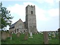
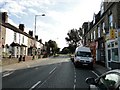
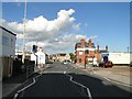
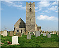
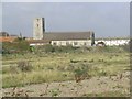
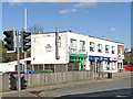
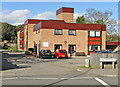
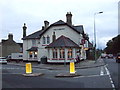
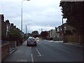
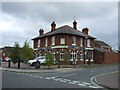
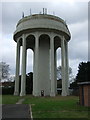
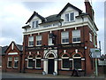
88 photos from this area
Area Information
Key information about the NR33 0LE including its size, population, and administrative classification.
- Area Type
- Postcode
- Area Size
- 7436 m²
- Population
- 1218
- Population Density
- 163807 people/km²
House Prices in NR33 0LE
48
Properties
£161,774
Average Sold Price
£33,000
Lowest Price
£250,000
Highest Price
Showing 48 properties
| Address | Type | Beds | Baths | Last Sale Price | Last Sale Date | |
|---|---|---|---|---|---|---|
| 514 London Road South, Lowestoft, NR33 0LE | house | - | - | £200,000 | Dec 2023 | |
| 506 London Road South, Lowestoft, NR33 0LE | Terraced | 4 | 1 | £250,000 | Sep 2023 | |
| 554 London Road South, Lowestoft, NR33 0LE | Terraced | 3 | 1 | £220,000 | Nov 2022 | |
| 552 London Road South, Lowestoft, NR33 0LE | house | 4 | 2 | £245,000 | May 2022 | |
| 512 London Road South, Lowestoft, NR33 0LE | Terraced | 3 | 1 | £210,000 | Apr 2022 | |
| 508 London Road South, Lowestoft, NR33 0LE | Terraced | 3 | 1 | £190,000 | Apr 2021 | |
| 522 London Road South, Lowestoft, NR33 0LE | Terraced | 4 | 2 | £185,000 | Jan 2020 | |
| 516 London Road South, Lowestoft, NR33 0LE | Terraced | 3 | 1 | £175,000 | Sep 2019 | |
| 524 London Road South, Lowestoft, NR33 0LE | Terraced | 4 | 1 | £184,000 | Dec 2018 | |
| 538 London Road South, Lowestoft, NR33 0LE | Terraced | 3 | 1 | £114,250 | Mar 2017 |
Page 1 of 5
Energy Efficiency in NR33 0LE
Amenities
Schools
| Rank | School | Type | Entry gender | Ages |
|---|
Explore more schools in this area
Go to Schools tabDemographics
Household Size
One person
most common
Accommodation Type
Houses
most common
Tenure
63
majority
Ethnic Group
White
most common
Religion
N/A
most common
Household Composition
N/A
most common
Age
47
median
Adults (30-64 years)
most common
Household Deprivation
N/A
with no deprivation
NS-SEC
29
in Lower managerial occupations
Explore more demographic insights in this area
Go to Demographics tabPlanning
Planning Constraints
- Flood RiskPremium
- Ramsar Wetland SitesPremium
- Area of Outstanding Natural BeautyPremium
- Protected Nature ReservePremium
- Protected WoodlandPremium