Area Overview for NR32 4DF
Photos of NR32 4DF
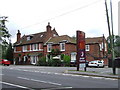
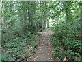
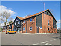
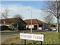
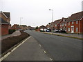
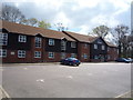
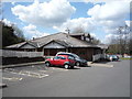
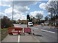
21 photos from this area
Area Information
Key information about the NR32 4DF including its size, population, and administrative classification.
- Area Type
- Postcode
- Area Size
- 8588 m²
- Population
- 1415
- Population Density
- 164762 people/km²
House Prices in NR32 4DF
23
Properties
£95,295
Average Sold Price
£41,000
Lowest Price
£157,500
Highest Price
Showing 23 properties
| Address | Type | Beds | Baths | Last Sale Price | Last Sale Date | |
|---|---|---|---|---|---|---|
| 29 Westhall Road, Lowestoft, NR32 4DF | house | - | - | £157,500 | Apr 2021 | |
| 13 Westhall Road, Lowestoft, NR32 4DF | Terraced | 3 | 1 | £109,000 | Nov 2014 | |
| 23 Westhall Road, Lowestoft, NR32 4DF | house | 3 | - | £122,500 | Sep 2013 | |
| 36 Westhall Road, Lowestoft, NR32 4DF | Terraced | - | - | £113,500 | Dec 2006 | |
| 16 Westhall Road, Lowestoft, NR32 4DF | Terraced | - | - | £109,950 | Jun 2006 | |
| 28 Westhall Road, Lowestoft, NR32 4DF | Terraced | 3 | 1 | £102,000 | May 2006 | |
| 34 Westhall Road, Lowestoft, NR32 4DF | Terraced | 3 | 1 | £84,000 | Sep 2005 | |
| 18 Westhall Road, Lowestoft, NR32 4DF | Terraced | - | - | £67,000 | Oct 2002 | |
| 17 Westhall Road, Lowestoft, NR32 4DF | house | - | - | £46,500 | Mar 2001 | |
| 35 Westhall Road, Lowestoft, NR32 4DF | Terraced | - | - | £41,000 | Jan 2001 |
Page 1 of 3
Energy Efficiency in NR32 4DF
Amenities
Schools
| Rank | School | Type | Entry gender | Ages |
|---|
Explore more schools in this area
Go to Schools tabDemographics
Household Size
One person
most common
Accommodation Type
Houses
most common
Tenure
37
majority
Ethnic Group
White
most common
Religion
N/A
most common
Household Composition
N/A
most common
Age
47
median
Adults (30-64 years)
most common
Household Deprivation
N/A
with no deprivation
NS-SEC
13
in Lower managerial occupations
Explore more demographic insights in this area
Go to Demographics tabPlanning
Planning Constraints
- Flood RiskPremium
- Ramsar Wetland SitesPremium
- Area of Outstanding Natural BeautyPremium
- Protected Nature ReservePremium
- Protected WoodlandPremium