Area Overview for NR32 2TD
Photos of NR32 2TD
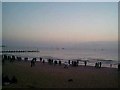
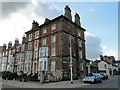
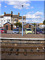
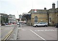
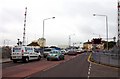
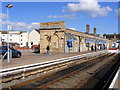
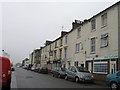
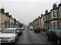
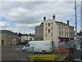
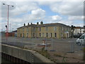
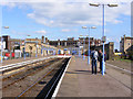
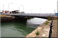
100 photos from this area
Area Information
Key information about the NR32 2TD including its size, population, and administrative classification.
- Area Type
- Postcode
- Area Size
- 3.7 hectares
- Population
- 2032
- Population Density
- 54210 people/km²
House Prices in NR32 2TD
63
Properties
£63,667
Average Sold Price
£50,000
Lowest Price
£91,000
Highest Price
Showing 63 properties
| Address | Type | Beds | Baths | Last Sale Price | Last Sale Date | |
|---|---|---|---|---|---|---|
| 2 Commercial Road, Lowestoft, NR32 2TD | Flat | - | - | £91,000 | Dec 2016 | |
| 6 Commercial Road, Lowestoft, NR32 2TD | Flat | 6 | 2 | £50,000 | Mar 2009 | |
| 10 Commercial Road, Lowestoft, NR32 2TD | Terraced | 4 | - | £50,000 | Apr 2003 | |
| 13 COMMERCIAL ROAD, Lowestoft, NR32 2TD | Flat | - | - | - | - | |
| First Floor Rear, Duke Of Wellington, 11 Commercial Road, Lowestoft, NR32 2TD | Flat | - | - | - | - | |
| Flat 6, 13 Commercial Road, Lowestoft, NR32 2TD | Flat | - | - | - | - | |
| Former British Transport Police Office, Commercial Road, Lowestoft, NR32 2TD | Office | - | - | - | - | |
| Flat 15, 9 Commercial Road, Lowestoft, NR32 2TD | Flat | - | - | - | - | |
| Top Flat, 16 Commercial Road, Lowestoft, NR32 2TD | undefined | - | - | - | - | |
| Middle Flat, 16 Commercial Road, Lowestoft, NR32 2TD | undefined | - | - | - | - |
Page 1 of 7
Energy Efficiency in NR32 2TD
Amenities
Schools
| Rank | School | Type | Entry gender | Ages |
|---|
Explore more schools in this area
Go to Schools tabDemographics
Household Size
One person
most common
Accommodation Type
Houses
most common
Tenure
30
majority
Ethnic Group
White
most common
Religion
N/A
most common
Household Composition
N/A
most common
Age
47
median
Adults (30-64 years)
most common
Household Deprivation
N/A
with no deprivation
NS-SEC
13
in Lower managerial occupations
Explore more demographic insights in this area
Go to Demographics tabPlanning
Planning Constraints
- Flood RiskPremium
- Ramsar Wetland SitesPremium
- Area of Outstanding Natural BeautyPremium
- Protected Nature ReservePremium
- Protected WoodlandPremium