Area Overview for NR31 8RD
Photos of NR31 8RD

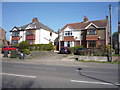


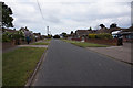
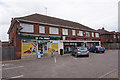
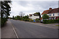
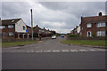
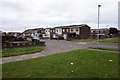
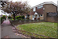
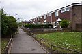
28 photos from this area
Area Information
Key information about the NR31 8RD including its size, population, and administrative classification.
- Area Type
- Postcode
- Area Size
- 5504 m²
- Population
- 1650
- Population Density
- 5974 people/km²
House Prices in NR31 8RD
37
Properties
£82,538
Average Sold Price
£20,000
Lowest Price
£118,000
Highest Price
Showing 37 properties
| Address | Type | Beds | Baths | Last Sale Price | Last Sale Date | |
|---|---|---|---|---|---|---|
| 24 Coronilla Green, Gorleston, Great Yarmouth, NR31 8RD | Flat | 2 | 1 | £118,000 | Nov 2025 | |
| 34 Coronilla Green, Gorleston, Great Yarmouth, NR31 8RD | Flat | - | - | £89,000 | Aug 2024 | |
| 31 Coronilla Green, Gorleston, Great Yarmouth, NR31 8RD | Flat | - | - | £115,000 | Oct 2022 | |
| 9 Coronilla Green, Gorleston, Great Yarmouth, NR31 8RD | Flat | - | - | £100,000 | Jun 2021 | |
| 4 Coronilla Green, Gorleston, Great Yarmouth, NR31 8RD | Flat | 2 | 1 | £91,000 | Sep 2019 | |
| 33 Coronilla Green, Gorleston, Great Yarmouth, NR31 8RD | Flat | 2 | 1 | £78,000 | Aug 2018 | |
| 2 Coronilla Green, Gorleston, Great Yarmouth, NR31 8RD | Flat | - | - | £70,500 | Apr 2013 | |
| 14 Coronilla Green, Gorleston, Great Yarmouth, NR31 8RD | Flat | - | - | £84,000 | Dec 2007 | |
| 25 Coronilla Green, Gorleston, Great Yarmouth, NR31 8RD | Flat | - | - | £83,000 | Oct 2007 | |
| 5 Coronilla Green, Gorleston, Great Yarmouth, NR31 8RD | Flat | - | - | £72,000 | Jan 2005 |
Page 1 of 4
Energy Efficiency in NR31 8RD
Amenities
Schools
| Rank | School | Type | Entry gender | Ages |
|---|
Explore more schools in this area
Go to Schools tabDemographics
Household Size
One person
most common
Accommodation Type
Houses
most common
Tenure
32
majority
Ethnic Group
White
most common
Religion
N/A
most common
Household Composition
N/A
most common
Age
47
median
Adults (30-64 years)
most common
Household Deprivation
N/A
with no deprivation
NS-SEC
15
in Lower managerial occupations
Explore more demographic insights in this area
Go to Demographics tabPlanning
Planning Constraints
- Flood RiskPremium
- Ramsar Wetland SitesPremium
- Area of Outstanding Natural BeautyPremium
- Protected Nature ReservePremium
- Protected WoodlandPremium