Area Overview for NR31 0AJ
Photos of NR31 0AJ

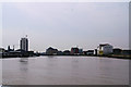
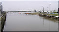
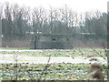
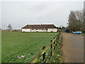

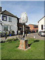
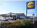

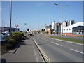
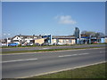
100 photos from this area
Area Information
Key information about the NR31 0AJ including its size, population, and administrative classification.
- Area Type
- Postcode
- Area Size
- 5.9 hectares
- Population
- 2404
- Population Density
- 1680 people/km²
House Prices in NR31 0AJ
18
Properties
£71,400
Average Sold Price
£40,000
Lowest Price
£140,000
Highest Price
Showing 18 properties
| Address | Type | Beds | Baths | Last Sale Price | Last Sale Date | |
|---|---|---|---|---|---|---|
| 66 Breydon Road, Great Yarmouth, NR31 0AJ | Terraced | 2 | 1 | £79,500 | Oct 2024 | |
| 10 Breydon Road, Great Yarmouth, NR31 0AJ | Terraced | 3 | 1 | £140,000 | Jun 2023 | |
| 8 Breydon Road, Great Yarmouth, NR31 0AJ | Terraced | 2 | 1 | £72,500 | Nov 2016 | |
| 64 Breydon Road, Great Yarmouth, NR31 0AJ | Terraced | 2 | - | £65,000 | Oct 2015 | |
| 9 Breydon Road, Great Yarmouth, NR31 0AJ | house | 3 | - | £72,000 | Feb 2015 | |
| 11 Breydon Road, Great Yarmouth, NR31 0AJ | house | 2 | 1 | £62,000 | Apr 2011 | |
| 63 Breydon Road, Great Yarmouth, NR31 0AJ | house | - | - | £57,000 | Aug 2006 | |
| 68 Breydon Road, Great Yarmouth, NR31 0AJ | Terraced | - | - | £59,000 | Mar 2004 | |
| 12 Breydon Road, Great Yarmouth, NR31 0AJ | house | - | - | £67,000 | Sep 2003 | |
| 7 Breydon Road, Great Yarmouth, NR31 0AJ | Terraced | 3 | - | £40,000 | Jun 2003 |
Page 1 of 2
Energy Efficiency in NR31 0AJ
Amenities
Schools
| Rank | School | Type | Entry gender | Ages |
|---|
Explore more schools in this area
Go to Schools tabDemographics
Household Size
One person
most common
Accommodation Type
Houses
most common
Tenure
31
majority
Ethnic Group
White
most common
Religion
N/A
most common
Household Composition
N/A
most common
Age
47
median
Adults (30-64 years)
most common
Household Deprivation
N/A
with no deprivation
NS-SEC
14
in Lower managerial occupations
Explore more demographic insights in this area
Go to Demographics tabPlanning
Planning Constraints
- Flood RiskPremium
- Ramsar Wetland SitesPremium
- Area of Outstanding Natural BeautyPremium
- Protected Nature ReservePremium
- Protected WoodlandPremium