Area Overview for NR30 5LL
Photos of NR30 5LL
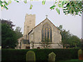
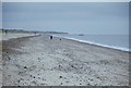
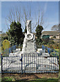
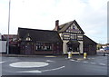
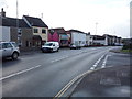
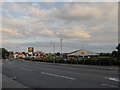
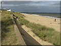
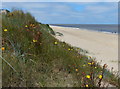

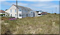
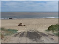
73 photos from this area
Area Information
Key information about the NR30 5LL including its size, population, and administrative classification.
- Area Type
- Postcode
- Area Size
- 1.4 hectares
- Population
- 1337
- Population Density
- 2569 people/km²
House Prices in NR30 5LL
41
Properties
£94,333
Average Sold Price
£14,600
Lowest Price
£235,000
Highest Price
Showing 41 properties
| Address | Type | Beds | Baths | Last Sale Price | Last Sale Date | |
|---|---|---|---|---|---|---|
| 4 Braddock Road, Caister On Sea, NR30 5LL | Detached | 3 | 1 | £235,000 | May 2025 | |
| 13 Braddock Road, Caister On Sea, NR30 5LL | house | - | - | £110,000 | Nov 2016 | |
| 40 Braddock Road, Caister On Sea, NR30 5LL | Semi-detached | 2 | 1 | £148,950 | Jun 2016 | |
| 22 Braddock Road, Caister On Sea, NR30 5LL | house | - | - | £113,000 | Sep 2013 | |
| 17 Braddock Road, Caister On Sea, NR30 5LL | Terraced | - | - | £46,000 | Apr 2004 | |
| 33A Braddock Road, Caister On Sea, NR30 5LL | Terraced | - | - | £63,995 | Oct 2001 | |
| 16 Braddock Road, Caister On Sea, NR30 5LL | Terraced | 3 | 2 | £64,950 | Aug 2001 | |
| 3 Braddock Road, Caister On Sea, NR30 5LL | Terraced | - | - | £52,500 | Sep 2000 | |
| 2 Braddock Road, Caister On Sea, NR30 5LL | house | - | - | £14,600 | Dec 1996 | |
| Electricity Substation, Braddock Road, Caister On Sea, NR30 5LL | commercial | - | - | - | - |
Page 1 of 5
Energy Efficiency in NR30 5LL
Amenities
Schools
| Rank | School | Type | Entry gender | Ages |
|---|
Explore more schools in this area
Go to Schools tabDemographics
Household Size
One person
most common
Accommodation Type
Houses
most common
Tenure
65
majority
Ethnic Group
White
most common
Religion
N/A
most common
Household Composition
N/A
most common
Age
47
median
Elderly (65+ years)
most common
Household Deprivation
N/A
with no deprivation
NS-SEC
19
in Lower managerial occupations
Explore more demographic insights in this area
Go to Demographics tabPlanning
Planning Constraints
- Flood RiskPremium
- Ramsar Wetland SitesPremium
- Area of Outstanding Natural BeautyPremium
- Protected Nature ReservePremium
- Protected WoodlandPremium